Toggle navigation
LMEC Home
Exhibitions
Georeferencing
Tools for Teachers
Collections
My Favorites
Sign Up / Log In
Search
Search the map portal
Map Collection
Map Collection
Map Sets
Search
Search
Search for
Search In
All Fields
Creator
Title
Subject
Place
Search All Digital Collections
Advanced Search
128 Results
My Search
Start Over
More Like
commonwealth:hx11xz398
Remove constraint More Like: commonwealth:hx11xz398
Creator
Amherst, Jeffery Amherst, Baron, 1717-1797
Remove constraint Creator: Amherst, Jeffery Amherst, Baron, 1717-1797
Filter your Search
Place
North and Central America
107
United States
57
Canada
42
Saint Lawrence River
14
Louisbourg
9
Ontario, Lake
9
Oswego (county)
9
Warren (county)
9
more
Place
»
Topic
Saint Lawrence River--Maps, Manuscript--Early works to 1800
11
Louisbourg (N.S.)--Maps, Manuscript--Early works to 1800
9
Lake George (N.Y.)--Maps, Manuscript--Early works to 1800
8
Military art and science--Nova Scotia--Louisbourg--Maps, Manuscript--Early works to 1800
8
Ontario, Lake (N.Y. and Ont.)--Maps, Manuscript--Early works to 1800
8
Fort Ontario (N.Y.)--Maps, Manuscript--Early works to 1800
7
Fortification--New York (State)--Lake George--Maps, Manuscript--Early works to 1800
7
Fortification--New York (State)--Oswego--Maps, Manuscript--Early works to 1800
7
more
Topic
»
Date
Date range begin
–
Date range end
Current results range from
1713
to
1781
1713 : 1782
1713
1782
1715
1720
1725
1730
1735
1740
1745
1750
1755
1760
1765
1770
1775
1780
Creator
Amherst, Jeffery Amherst, Baron, 1717-1797
[remove]
128
Royal United Services Institute for Defence and Security Studies
127
Brasier, William
12
Sowers, Thomas
9
Bastide, John Henry, approximately 1700-1770
7
Bruce, Robert George
7
Ratzer, Bernard
7
Labrosse, Paul, 1697-1769
6
more
Creator
»
Format
Maps/Atlases
127
Manuscripts
2
Georeferenced
Yes
1
No
127
Collection
British Library Collection
128
American Revolutionary War-Era Maps
126
Urban Maps
2
Available to use
Creative Commons license
128
Search Constraints
Sort by relevance
relevance
title
date (asc)
date (desc)
Number of results to display per page
20 per page
10
per page
20
per page
50
per page
100
per page
View results as:
grid view
map view
Search Results
1.
2:d Position
2.
3:d Position
3.
4:th Position
4.
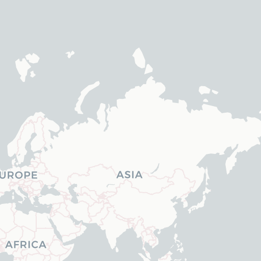
A, PLAN of the Ground Defined to be Fortified at OSWEGO
5.
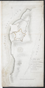
A, PLAN of the Ground Defined to be Fortified at OSWEGO
6.
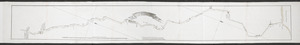
[Account of the action at Fort Niagara]
7.
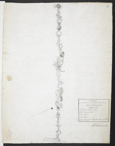
[An unfinished chart of the Saint Lawrence River from Perrot Island to the Island of Orleans]
8.
CARTE de la RIVIERE de KATARAKOUI : du cote du nord, qui donne la Connoissance des Chutes, Cascades, Troux, rapides, et mauvais...
9.
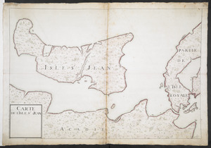
CARTE DE L'ISLE ST JEAN
10.
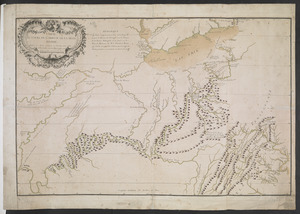
CARTE DU COURS DE L'OHIO OU DE LA BELLE RIVIERE : Depuis sa Source jusqu'a sa Jonction avec celle d'Ouabache, avec les pays les...
11.
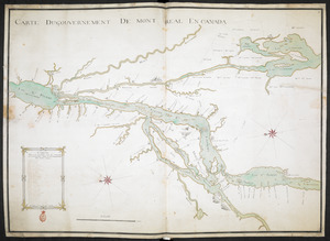
CARTE DU GOUVERNEMENT DE MONT REAL EN CANADA
12.
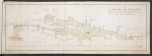
Carte du Lac Champlain depuis le Fort de Chambly Jusques au desus du Fort S.t Frederic, dans la Nouvelle France
13.
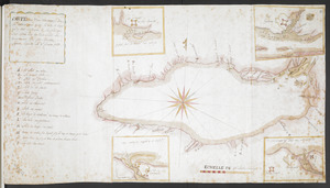
CARTE, ou plan Nouveau du Lac Ontario, avec touttes les isles et bayes qui y Sont rénfermées : Et les forts qui Sont Scitués...
14.
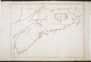
A Chart of The Peninsula of Nova Scotia 1765
15.
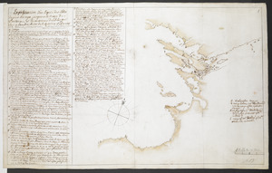
[Chart of the Saint Lawrence River]
16.
[Chart of the Saint Lawrence River from Anticosti to Quebec]
17.
COURS of ye ONONDAGA RIVER from ye three RIVERS to OSWEGO
18.
Draught of a Scout over the Mountains West-ward of Lake Champlain
19.
Explication d'un Esquis des Côtes depuis Oswego jusques a la Baye de Frontenac, et les environs des Isle qui Sont en...
20.
Fort at Carlisle
+
-
Redo search here
Search when I move the map
Leaflet
| ©
OpenStreetMap
contributors, ©
CartoDB
‹ Prev
Next ›
1
2
3
4
5
6
7


![[Account of the action at Fort Niagara]](https://bpldcassets.blob.core.windows.net/derivatives/images/commonwealth:6108vv66z/image_thumbnail_300.jpg)
![[An unfinished chart of the Saint Lawrence River from Perrot Island to the Island of Orleans]](https://bpldcassets.blob.core.windows.net/derivatives/images/commonwealth:hx11z0836/image_thumbnail_300.jpg)
![[Chart of the Saint Lawrence River]](https://bpldcassets.blob.core.windows.net/derivatives/images/commonwealth:hx11z0594/image_thumbnail_300.jpg)
![[Chart of the Saint Lawrence River from Anticosti to Quebec]](https://bpldcassets.blob.core.windows.net/derivatives/images/commonwealth:hx11z079m/image_thumbnail_300.jpg)