Toggle navigation
LMEC Home
Exhibitions
Georeferencing
Tools for Teachers
Collections
My Favorites
Sign Up / Log In
Search
Search the map portal
Map Collection
Map Collection
Map Sets
Search
Search
Search for
Search In
All Fields
Creator
Title
Subject
Place
Search All Digital Collections
Advanced Search
8634 Results
My Search
Start Over
More Like
commonwealth:st74cx70w
Remove constraint More Like: commonwealth:st74cx70w
Format
Maps/Atlases
Remove constraint Format: Maps/Atlases
Filter your Search
Place
North and Central America
5,908
United States
4,827
Massachusetts
2,069
Europe
1,376
Suffolk (county)
1,040
Boston
1,013
Canada
449
Asia
437
more
Place
»
Topic
Boston (Mass.)--Maps
586
United States--Maps
280
Real property--Massachusetts--Boston--Maps
175
Massachusetts--Maps
161
Landowners--Massachusetts--Boston--Maps
133
North America--Maps--Early works to 1800
103
New England--Maps
102
Europe--Maps
78
more
Topic
»
Date
Date range begin
–
Date range end
Current results range from
1482
to
2023
1482 : 2024
1482
2024
1500
1550
1600
1650
1700
1750
1800
1850
1900
1950
2000
Creator
United States. Hydrographic Office
595
O.H. Bailey & Co
148
Des Barres, Joseph F. W. (Joseph Frederick Wallet), 1722-1824
123
United States. Post Office Dept
120
Ptolemy, 2nd cent
99
Walling, Henry Francis, 1825-1888
94
Geological Survey (U.S.)
86
Jefferys, Thomas, -1771
85
more
Creator
»
Format
Maps/Atlases
[remove]
8,634
Manuscripts
215
Books
34
Objects/Artifacts
9
Prints
6
Drawings/Illustrations
3
Posters
1
Georeferenced
Yes
869
No
7,765
Collection
Norman B. Leventhal Map & Education Center Collection
8,634
Boston and New England Maps
2,225
Urban Maps
2,018
Maritime Charts and Atlases
1,083
American Revolutionary War-Era Maps
616
Boston Redevelopment Authority Collection
83
Available to use
No known restrictions
8,492
Creative Commons license
47
Search Constraints
Sort by relevance
relevance
title
date (asc)
date (desc)
Number of results to display per page
20 per page
10
per page
20
per page
50
per page
100
per page
View results as:
grid view
map view
Search Results
1.
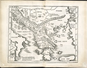
Decima Europe tabula continent Macedonia et Epirum et Achaiam & Peloponesum
2.
Graeciae antiquae
3.
Greece, Archipelago and part of Anadoli
4.
Greece with part of Anatolia = La Graecia con parte della Natolia
5.
Nona Europa tabula continet Iaziges Metanastas
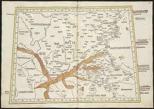
6.
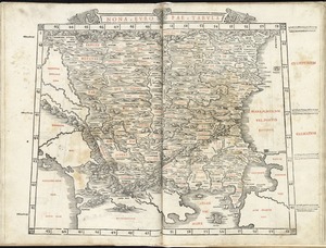
Nona Europae tabula
7.
Ta. moder. Bossinae, Serviae, Graeciae, et Sclavoniae
8.
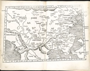
Tabula IX Europae
9.
Tabula X Europae
10.
The 100th anniversary map of Abraham Lincoln's visit to Massachusetts, September 11-23, 1848
11.
1630 shoreline
12.
1879. Progress map of the U.S. Geographical Surveys west of the 100th Meridian : prepared under the direction of 1st Lieut....
13.
1903 Map of Salem and surrounding places
14.
19th annual convention of the National Association of Real Estate Boards : at Tulsa, June 7 to June 11 in 1926
15.
The 2100 project : an atlas for the Green New Deal
16.
227 Harzgerode
17.
305 Glatz
18.
38,000,000 escaped -- 10,000,000 died
19.
4 Kinten
20.
660 Wakulah St., Roxbury
+
-
Redo search here
Search when I move the map
Leaflet
| ©
OpenStreetMap
contributors, ©
CartoDB
‹ Prev
Next ›
1
2
3
4
5
…
431
432