Toggle navigation
LMEC Home
Exhibitions
Georeferencing
Tools for Teachers
Collections
My Favorites
Sign Up / Log In
Search
Search the map portal
Map Collection
Map Collection
Map Sets
Search
Search
Search for
Search In
All Fields
Creator
Title
Subject
Place
Search All Digital Collections
Advanced Search
13511 Results
Filter your Search
Place
North and Central America
10,226
United States
8,361
Massachusetts
2,776
Suffolk (county)
1,673
Boston
1,629
Europe
1,386
Canada
949
New York
640
more
Place
»
Topic
Boston (Mass.)--Maps
745
City planning--Massachusetts--Boston--Maps
418
United States--History--Revolution, 1775-1783--Maps
329
United States--Maps
321
Urban renewal--Massachusetts--Boston--Maps
254
Real property--Massachusetts--Boston--Maps
253
Massachusetts--Maps
230
Insurance surveys
197
more
Topic
»
Date
Date range begin
–
Date range end
Current results range from
1482
to
2023
View distribution
Creator
United States. Hydrographic Office
596
Boston Redevelopment Authority
404
Des Barres, Joseph F. W. (Joseph Frederick Wallet), 1722-1824
247
Royal United Services Institute for Defence and Security Studies
160
Jefferys, Thomas, -1771
154
George, III, King of Great Britain, 1738-1820
152
George, IV, King of Great Britain, 1762-1830
151
O.H. Bailey & Co
148
more
Creator
»
Format
Maps/Atlases
13,330
Manuscripts
985
Prints
102
Books
49
Drawings/Illustrations
44
Photographs
15
Objects/Artifacts
13
Documents
7
more
Format
»
Georeferenced
Yes
979
No
12,532
Collection
Norman B. Leventhal Map & Education Center Collection
9,017
American Revolutionary War-Era Maps
3,305
Boston and New England Maps
2,898
Urban Maps
2,423
Maritime Charts and Atlases
1,167
William L. Clements Library Collection
910
Library of Congress Collection
618
Boston Redevelopment Authority Collection
475
more
Collection
»
Available to use
No known restrictions
10,078
Creative Commons license
1,677
Search Constraints
Sort by relevance
relevance
title
date (asc)
date (desc)
Number of results to display per page
20 per page
10
per page
20
per page
50
per page
100
per page
View results as:
grid view
map view
Search Results
5181.
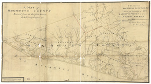
A map of Monmouth County
5182.
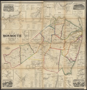
Map of Monmouth County, New Jersey
5183.
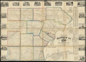
Map of Monroe County, Michigan
5184.
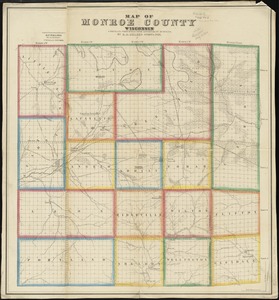
Map of Monroe County, Wisconsin
5185.
Map of Montague Village
5186.
Map of Morris's Purchase or West Geneseo in the state of New York : exhibiting part of the Lakes Erie and Ontario, the...
5187.
Map of Morristown : Morris County New Jersey
5188.
Map of Mount Desert Island, Maine
5189.
Map of Mount Desert Island, Maine
5190.
Map of Mount Desert Island, Maine
5191.
Map of n. eastern Virginia and vicinity of Washington
5192.
Map of Nantucket made by J. Prescott, dated 1831
5193.
[Map of Narragansett Bay]
5194.
Map of Nebraska showing the Union Pacific Railroad land grant
5195.
Map of New Bedford
5196.
Map of New Bedford and Fairhaven
5197.
[Map of New England]
5198.
Map of New England
5199.
Map of New England : with adjacent portions of New York & Canada
5200.
A Map of New England & ye country adjacent, : extending northward to Quebec, & westward to Niagara, on Lake Ontario; shewing...
‹ Prev
Next ›
1
2
…
256
257
258
259
260
261
262
263
264
…
675
676


![[Map of Narragansett Bay]](https://bpldcassets.blob.core.windows.net/derivatives/images/commonwealth:hx11z2791/image_thumbnail_300.jpg)
![[Map of New England]](https://bpldcassets.blob.core.windows.net/derivatives/images/commonwealth:hx11z5705/image_thumbnail_300.jpg)


