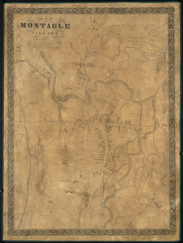
Map of Montague Village
Item Information
- Title:
- Map of Montague Village
- Creator:
- Stevens, G.
- Name on Item:
-
by G. Stevens.
- Date:
-
[1855]
- Format:
-
Maps/Atlases
- Location:
-
Boston Public Library
Norman B. Leventhal Map & Education Center - Collection (local):
-
Norman B. Leventhal Map & Education Center Collection
- Subjects:
-
Landowners--Massachusetts--Montague--Maps
Real property--Massachusetts--Montague--Maps
Montague (Mass.)--Maps
- Places:
-
MassachusettsFranklin (county)Montague
- Extent:
- 1 map ; 91 x 65 cm.
- Terms of Use:
-
No known copyright restrictions.
No known restrictions on use.
- Publisher:
-
New York :
s.n.
- Scale:
-
Scale 1:2,400.
- Language:
-
English
- Notes:
-
Relief shown by hachures.
- Notes (date):
-
This date is inferred.
- Identifier:
-
06_01_007637
- Call #:
-
G3764.M87 1855 .S74x
- Barcode:
-
39999065645762


