Toggle navigation
LMEC Home
Exhibitions
Georeferencing
Tools for Teachers
Collections
My Favorites
Sign Up / Log In
Search
Search the map portal
Map Collection
Map Collection
Map Sets
Search
Search
Search for
Search In
All Fields
Creator
Title
Subject
Place
Search All Digital Collections
Advanced Search
13518 Results
Filter your Search
Place
North and Central America
10,232
United States
8,367
Massachusetts
2,778
Suffolk (county)
1,675
Boston
1,631
Europe
1,386
Canada
949
New York
640
more
Place
»
Topic
Boston (Mass.)--Maps
746
City planning--Massachusetts--Boston--Maps
418
United States--History--Revolution, 1775-1783--Maps
329
United States--Maps
321
Real property--Massachusetts--Boston--Maps
254
Urban renewal--Massachusetts--Boston--Maps
254
Massachusetts--Maps
230
Insurance surveys
197
more
Topic
»
Date
Date range begin
–
Date range end
Current results range from
1482
to
2023
View distribution
Creator
United States. Hydrographic Office
596
Boston Redevelopment Authority
404
Des Barres, Joseph F. W. (Joseph Frederick Wallet), 1722-1824
247
Royal United Services Institute for Defence and Security Studies
160
Jefferys, Thomas, -1771
154
George, III, King of Great Britain, 1738-1820
152
George, IV, King of Great Britain, 1762-1830
151
O.H. Bailey & Co
148
more
Creator
»
Format
Maps/Atlases
13,337
Manuscripts
985
Prints
102
Books
49
Drawings/Illustrations
44
Photographs
15
Objects/Artifacts
13
Documents
7
more
Format
»
Georeferenced
Yes
979
No
12,539
Collection
Norman B. Leventhal Map & Education Center Collection
9,022
American Revolutionary War-Era Maps
3,305
Boston and New England Maps
2,900
Urban Maps
2,425
Maritime Charts and Atlases
1,167
William L. Clements Library Collection
910
Library of Congress Collection
618
Boston Redevelopment Authority Collection
475
more
Collection
»
Available to use
No known restrictions
10,085
Creative Commons license
1,677
Search Constraints
Sort by relevance
relevance
title
date (asc)
date (desc)
Number of results to display per page
20 per page
10
per page
20
per page
50
per page
100
per page
View results as:
grid view
map view
Search Results
5681.
Map of the Department of Dakota including Minnesota, Dakota and Montana
5682.
Map of the Department of Dakota including Minnesota, North Dakota, Montana, Yellowstone National Park, and that portion of...
5683.
Map of the Department of the Columbia
5684.
Map of the Department of the Columbia
5685.
Map of the Diocese of Massachusetts showing the location of the Episcopal parishes and Missionary Stations
5686.
A map of the discoveries made by Capts. Cook & Clerke in the years 1778 & 1779 between the eastern coast of Asia and the...
5687.
A map of the discoveries made by the Russians on the North West coast of America
5688.
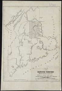
Map of the disputed territory [Maine] : reduced from the original of Messrs. Featherstonehaugh & Mudge, British commissioners
5689.
Map of the disputed territory with the boundaries claimed by Maine & Great Britain and that proposed by the King of the...
5690.
Map of the disputed territory,with a full description
5691.
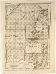
Map of the district of Delaware in Ohio
5692.
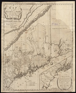
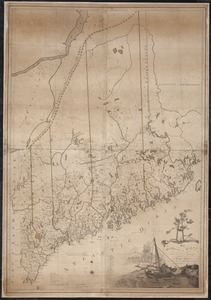
A map of the district of Maine, drawn from the latest surveys and other best authorities
5693.
Map of the district of Maine from the latest and best authorities
5694.
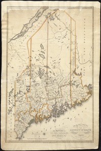
Map of the District of Maine Massachusetts : compiled from actual surveys made by order of the General Court, and under the...
5695.
Map of the district of Maine, Massachusetts : compiled from actual surveys made by order of the General Court and under the...
5696.
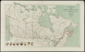
Map of the Dominion of Canada : indicating natural resources, transportation and trade routes
5697.
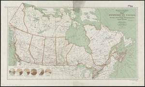
Map of the Dominion of Canada : indicating natural resources, transportation and trade routes
5698.
Map of the Dominion of Canada
5699.
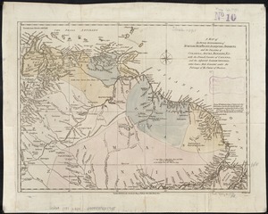
A map of the Dutch settlements of Surinam, Demerary, Issequibo, Berbices, and the islands of Curassoa, Aruba, Bonaire, &c :...
5700.
Map of the eastern and middle states
‹ Prev
Next ›
1
2
…
281
282
283
284
285
286
287
288
289
…
675
676


![Map of the disputed territory [Maine]](https://bpldcassets.blob.core.windows.net/derivatives/images/commonwealth:7h14b025h/image_thumbnail_300.jpg)