Toggle navigation
LMEC Home
Exhibitions
Georeferencing
Tools for Teachers
Collections
My Favorites
Sign Up / Log In
Search
Search the map portal
Map Collection
Map Collection
Map Sets
Search
Search
Search for
Search In
All Fields
Creator
Title
Subject
Place
Search All Digital Collections
Advanced Search
13385 Results
Filter your Search
Place
North and Central America
10,111
United States
8,249
Massachusetts
2,691
Suffolk (county)
1,664
Boston
1,621
Europe
1,386
Canada
949
New York
640
more
Place
»
Topic
Boston (Mass.)--Maps
741
City planning--Massachusetts--Boston--Maps
418
United States--History--Revolution, 1775-1783--Maps
329
United States--Maps
315
Urban renewal--Massachusetts--Boston--Maps
254
Real property--Massachusetts--Boston--Maps
252
Massachusetts--Maps
219
Insurance surveys
197
more
Topic
»
Date
Date range begin
–
Date range end
Current results range from
1482
to
2023
View distribution
Creator
United States. Hydrographic Office
595
Boston Redevelopment Authority
403
Des Barres, Joseph F. W. (Joseph Frederick Wallet), 1722-1824
247
Royal United Services Institute for Defence and Security Studies
160
Jefferys, Thomas, -1771
154
George, III, King of Great Britain, 1738-1820
152
George, IV, King of Great Britain, 1762-1830
151
O.H. Bailey & Co
148
more
Creator
»
Format
Maps/Atlases
13,205
Manuscripts
985
Prints
102
Books
49
Drawings/Illustrations
44
Photographs
15
Objects/Artifacts
13
Documents
7
more
Format
»
Georeferenced
Yes
979
No
12,406
Collection
Norman B. Leventhal Map & Education Center Collection
8,891
American Revolutionary War-Era Maps
3,305
Boston and New England Maps
2,804
Urban Maps
2,397
Maritime Charts and Atlases
1,150
William L. Clements Library Collection
910
Library of Congress Collection
618
Boston Redevelopment Authority Collection
475
more
Collection
»
Available to use
No known restrictions
9,952
Creative Commons license
1,677
Search Constraints
Sort by date (desc)
relevance
title
date (asc)
date (desc)
Number of results to display per page
50 per page
10
per page
20
per page
50
per page
100
per page
View results as:
grid view
map view
Search Results
351.
Roxbury
352.
Selected hurricanes affecting the southern United States 1954-1977
353.
T system map : 1978-1979
354.
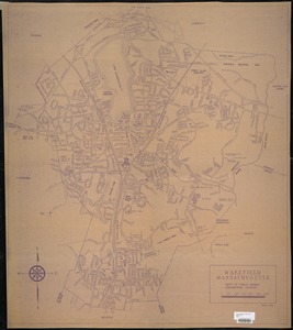
Wakefield, Massachusetts
355.
Park Plaza urban renewal area : map no. 3 land acquisition map
356.
Adams Nervine Asylum
357.
Boston urban wilds : geology
358.
Boston urban wilds : ownership
359.
Boston urban wilds inventory
360.
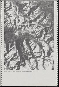
Dot matrix printouts of Landsat satellite images
361.
Massachusetts coastal zone management program : volume 1, summary map
362.
MBTA map : 1977-1978
363.
Metropolitan Boston transportation map : subway, bus, rail
364.
Park Plaza : illustrative site plan
365.
Park Plaza : illustrative site plan showing alternate apartment building configuration
366.
The 1976 proposed regional open space plan
367.
Boston urban wilds
368.
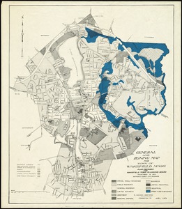
General and zoning map for town of Wakefield Mass.
369.
Metropolitan Boston transportation map : subway, bus, rail
370.
Metropolitan Boston transportation map : subway, bus, rail
371.
Metropolitan Boston transportation map : subway, bus, rail
372.
Port facilities at Boston, MA
373.
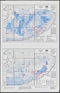
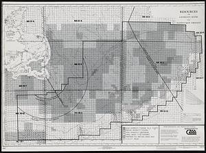
Resources on Georges Bank and Nantucket Shoals
374.
Resources on Georges Bank and Nantucket Shoals
375.
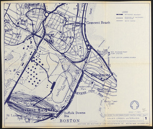
Revere, Sales Creek - flood control study
376.
Transportation map of New York
377.
Boston Common Brewer Fountain - exist. conditions, demolition plan and site plan for comfort station area
378.
Contract documents for the Waterfront Park, Boston, Massachusetts : planting plan
379.
Boston proper
380.
Charlestown urban renewal area project no. Mass. R-55 Boston - Suffolk County - Massachusetts delivery parcel plan : parcel...
381.
The good things in life belong to all of us, let's protect them
382.
Illustrative re-use site plan for the regional core
383.
Metropolitan Boston transportation map : subway, bus, rail
384.
Park Plaza building study stage environmental impact analysis : environmental base : sanitary sewerage and storm drainage
385.
Plan of Lafayette Mall (Boston Common)
386.
Wards & precincts
387.
Boston public schools and police reporting areas
388.
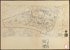
South Cove urban renewal area R-92 : disposition plan
389.
Downtown waterfront-Faneuil Hall project urban renewal area Massachusetts R-77 : illustrative site plan
390.
Downtown waterfront-Faneuil Hall project urban renewal area Massachusetts R-77 : illustrative site plan
391.
Black in New England 1840
392.
Cape Cod
393.
Metropolitan Boston transportation map : subway, bus, rail
394.
Downtown waterfront-Faneuil Hall urban renewal area Massachusetts R-77 : proposed land use
395.
Park Plaza urban renewal area : environmental deficiencies and blighting influences map
396.
Park Plaza urban renewal area : environmental deficiencies and blighting influences map
397.
Park Plaza urban renewal area : building conditions map
398.
Fenway urban renewal area Massachusetts : disposition parcels
399.
Park Plaza urban renewal area : 1973 survey building deficiencies map for Park Plaza stage I
400.
Breton Sound
‹ Prev
Next ›
1
2
…
4
5
6
7
8
9
10
11
12
…
267
268