Toggle navigation
LMEC Home
Exhibitions
Georeferencing
Tools for Teachers
Collections
My Favorites
Sign Up / Log In
Search
Search the map portal
Map Collection
Map Collection
Map Sets
Search
Search
Search for
Search In
All Fields
Creator
Title
Subject
Place
Search All Digital Collections
Advanced Search
13680 Results
Filter your Search
Place
North and Central America
10,344
United States
8,475
Massachusetts
2,789
Suffolk (county)
1,677
Boston
1,633
Europe
1,415
Canada
950
New York
649
more
Place
»
Topic
Boston (Mass.)--Maps
747
City planning--Massachusetts--Boston--Maps
418
United States--History--Revolution, 1775-1783--Maps
329
United States--Maps
322
Real property--Massachusetts--Boston--Maps
254
Urban renewal--Massachusetts--Boston--Maps
254
Massachusetts--Maps
231
Insurance surveys
197
more
Topic
»
Date
Date range begin
–
Date range end
Current results range from
1482
to
2023
View distribution
Creator
United States. Hydrographic Office
597
Boston Redevelopment Authority
404
Des Barres, Joseph F. W. (Joseph Frederick Wallet), 1722-1824
247
Royal United Services Institute for Defence and Security Studies
160
Jefferys, Thomas, -1771
154
George, III, King of Great Britain, 1738-1820
152
George, IV, King of Great Britain, 1762-1830
151
O.H. Bailey & Co
148
more
Creator
»
Format
Maps/Atlases
13,499
Manuscripts
985
Prints
102
Books
49
Drawings/Illustrations
44
Photographs
15
Objects/Artifacts
13
Documents
7
more
Format
»
Georeferenced
Yes
979
No
12,701
Collection
Norman B. Leventhal Map & Education Center Collection
9,096
American Revolutionary War-Era Maps
3,305
Boston and New England Maps
2,915
Urban Maps
2,471
Maritime Charts and Atlases
1,169
William L. Clements Library Collection
910
Library of Congress Collection
618
Boston Redevelopment Authority Collection
475
more
Collection
»
Available to use
No known restrictions
10,246
Creative Commons license
1,678
Search Constraints
Sort by relevance
relevance
title
date (asc)
date (desc)
Number of results to display per page
20 per page
10
per page
20
per page
50
per page
100
per page
View results as:
grid view
map view
Search Results
5481.
Map of Scituate Rhode Island
5482.
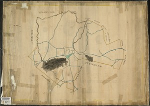
[Map of Scollay Square and vicinity]
5483.
[Map of Scranton], Pa
5484.
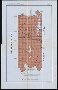
Map of Seminole Nation
5485.
Map of senatorial districts of Massachusetts, as established by the legislature of 1886 : with population and legal voters...
5486.
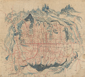
Map of Seoul
5487.
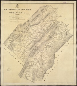
Map of Shenandoah & Page counties and part of Warren County, Virginia
5488.
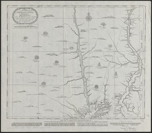
A map of some of the south and east bounds of Pennsylvania in America, being partly inhabited
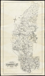
5489.
Map of Somerset Co., Maine
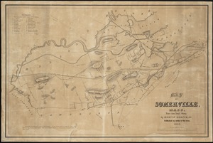
5490.
Map of Somerville, Mass
5491.
A map of South America according to the best authorities
5492.
A map of South America with all the European settlements & whatever else is remarkable, from the latest & best observations
5493.
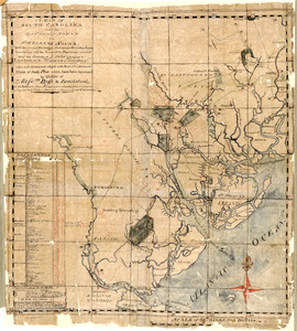
A map of South Carolina and a part of Georgia : Containing the whole sea-coast; all the islands, inlets, rivers, creeks,...
5494.
A map of South Carolina and a part of Georgia : containing the whole sea-coast; all the islands, inlets, rivers, creeks,...
5495.
A map of South Carolina and a part of Georgia : containing the whole sea-coast; all the islands, inlets, rivers, creeks,...
5496.
A map of South Carolina from the Savannah Sound to St. Helena's Sound, with the several plantations, their proper boundary...
5497.
Map of South Reading
5498.
Map of southeastern portion of United States showing the location of battles in the Civil War 1861-1865
5499.
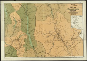
Map of southern portion East & West Kootenay Districts
5500.
[Map of Spanish Louisiana and the American colonies]
‹ Prev
Next ›
1
2
…
271
272
273
274
275
276
277
278
279
…
683
684

![[Map of Scollay Square and vicinity]](https://bpldcassets.blob.core.windows.net/derivatives/images/commonwealth:x059cc25q/image_thumbnail_300.jpg)
![[Map of Scranton], Pa](https://bpldcassets.blob.core.windows.net/derivatives/images/commonwealth:4m90fd43t/image_thumbnail_300.jpg)


![[Map of Spanish Louisiana and the American colonies]](https://bpldcassets.blob.core.windows.net/derivatives/images/commonwealth:z603vq85r/image_thumbnail_300.jpg)