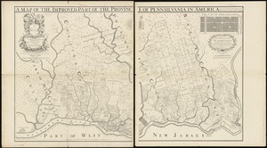
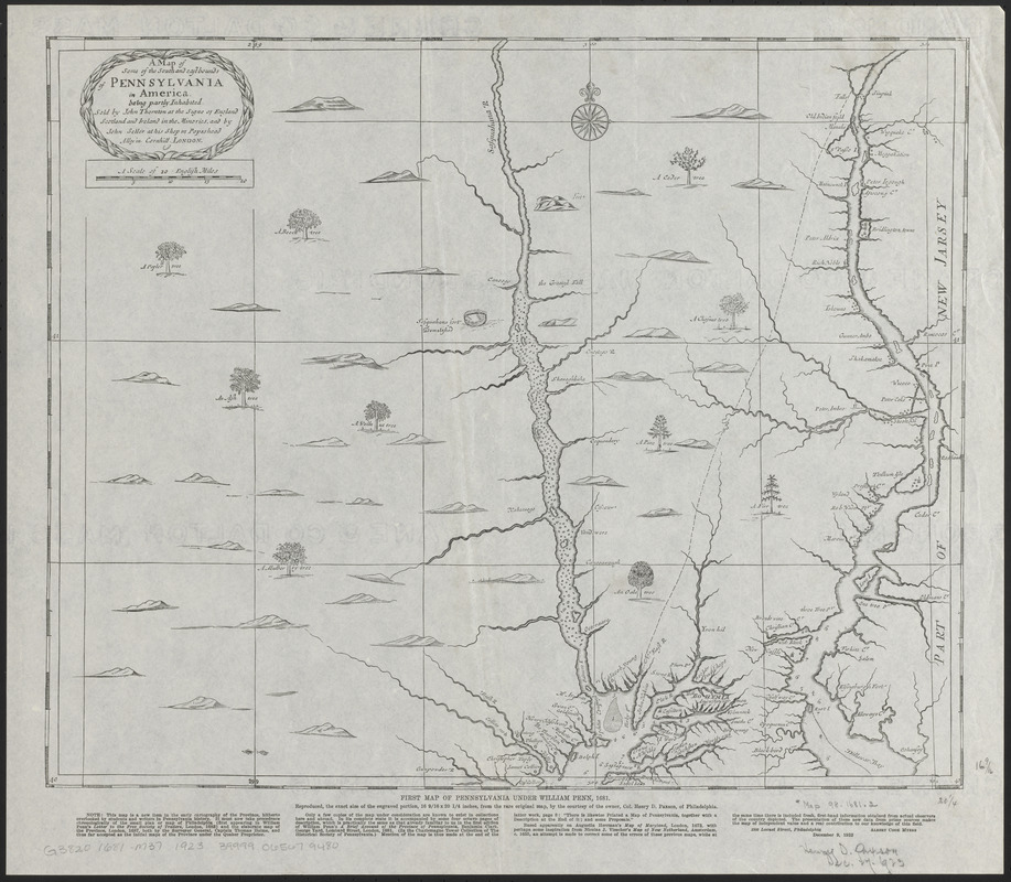
A map of some of the south and east bounds of Pennsylvania in America, being partly inhabited
Item Information
- Title:
- A map of some of the south and east bounds of Pennsylvania in America, being partly inhabited
- Title (alt.):
-
First map of Pennsylvania under William Penn, 1681
- Contributor:
- Thornton, John, 1641-1708
- Contributor:
- Seller, John, active 1658-1698
- Writer of added text:
- Myers, Albert Cook, 1874-1960
- Date:
-
1923
- Format:
-
Maps/Atlases
- Location:
-
Boston Public Library
Norman B. Leventhal Map & Education Center - Collection (local):
-
Norman B. Leventhal Map & Education Center Collection
- Subjects:
-
Pennsylvania--Maps--Early works to 1800--Facsimiles
- Places:
-
Pennsylvania
- Extent:
- 1 map ; 41 x 50 cm
- Terms of Use:
-
No known copyright restrictions.
No known restrictions on use.
- Publisher:
-
Philadelphia :
[Historical Society of Philadelphia]
- Scale:
-
Scale [ca. 1:400,000]
- Language:
-
English
- Notes:
-
Facsimile.
Prime meridian: [Ferro].
Relief shown pictorially.
Note by Albert Cook Myers in lower margin.
""Reproduced ... by courtesy of the owner, Col. Henry D. Paxson, of Philadelphia."
Includes ill. of trees.
Original version: London : Sold by John Thornton and John Seller, [1681].
- Identifier:
-
06_01_016809
- Call #:
-
G3820 1681 .M37 1923
- Barcode:
-
39999065679480