Toggle navigation
LMEC Home
Exhibitions
Georeferencing
Tools for Teachers
Collections
My Favorites
Sign Up / Log In
Search
Search the map portal
Map Collection
Map Collection
Map Sets
Search
Search
Search for
Search In
All Fields
Creator
Title
Subject
Place
Search All Digital Collections
Advanced Search
13680 Results
Filter your Search
Place
North and Central America
10,344
United States
8,475
Massachusetts
2,789
Suffolk (county)
1,677
Boston
1,633
Europe
1,415
Canada
950
New York
649
more
Place
»
Topic
Boston (Mass.)--Maps
747
City planning--Massachusetts--Boston--Maps
418
United States--History--Revolution, 1775-1783--Maps
329
United States--Maps
322
Real property--Massachusetts--Boston--Maps
254
Urban renewal--Massachusetts--Boston--Maps
254
Massachusetts--Maps
231
Insurance surveys
197
more
Topic
»
Date
Date range begin
–
Date range end
Current results range from
1482
to
2023
View distribution
Creator
United States. Hydrographic Office
597
Boston Redevelopment Authority
404
Des Barres, Joseph F. W. (Joseph Frederick Wallet), 1722-1824
247
Royal United Services Institute for Defence and Security Studies
160
Jefferys, Thomas, -1771
154
George, III, King of Great Britain, 1738-1820
152
George, IV, King of Great Britain, 1762-1830
151
O.H. Bailey & Co
148
more
Creator
»
Format
Maps/Atlases
13,499
Manuscripts
985
Prints
102
Books
49
Drawings/Illustrations
44
Photographs
15
Objects/Artifacts
13
Documents
7
more
Format
»
Georeferenced
Yes
979
No
12,701
Collection
Norman B. Leventhal Map & Education Center Collection
9,096
American Revolutionary War-Era Maps
3,305
Boston and New England Maps
2,915
Urban Maps
2,471
Maritime Charts and Atlases
1,169
William L. Clements Library Collection
910
Library of Congress Collection
618
Boston Redevelopment Authority Collection
475
more
Collection
»
Available to use
No known restrictions
10,246
Creative Commons license
1,678
Search Constraints
Sort by relevance
relevance
title
date (asc)
date (desc)
Number of results to display per page
20 per page
10
per page
20
per page
50
per page
100
per page
View results as:
grid view
map view
Search Results
7081.
A new chart of America with the harbors of New York, Boston, &c
7082.
New chart of Boston Harbor
7083.
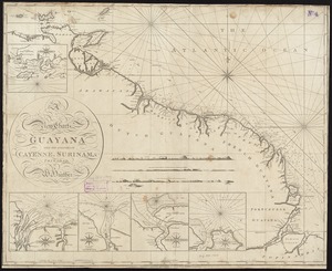
A new chart of Guyana with the colonies of Cayenne, Surinam, & Trinadad
7084.
A new chart of Massachusetts Bay drawn from the latest authorities
7085.
A new chart of Nantucket Shoals & George's Bank with the adjacent coast
7086.
A new chart of the Atlantic or Western Ocean
7087.
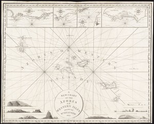
A new chart of the Azores or Western Isles
7088.
A new chart of the Bahama Islands and the Windward Passage
7089.
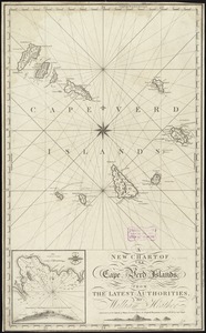
A new chart of the Cape Verd Islands, from the latest authorities
7090.
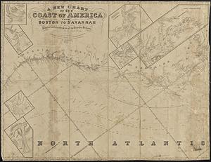
A new chart of the coast of America from Boston to Savannah with plans on an enlarged scale, of the principal harbours :...
7091.
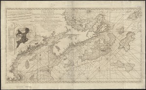
A new chart of the coast of New England, Nova Scotia, and the islands of St. Iohn, Cape Breton, Sable, the banks of St. Peters,...
7092.
A new chart of the coast of New England, Nova Scotia, and the islands of St. John, Cape Breton, Sable, the banks of St. Peters,...
7093.
A new chart of the coast of New England, Nova Scotia, New France or Canada, with the islands of Newfoundld. Cape Breton St....
7094.
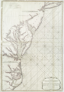
A new chart of the coast of North America : from New York to Cape Hatteras, including the bays of Delaware and Chesapeak, with...
7095.
A new chart of the Gulf of Florida and Bahama Banks also the Bahama Islands taken from a new chart published in Cadiz from a...
7096.
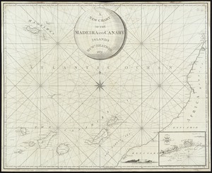
A New Chart of the Madeira and Canary Islands
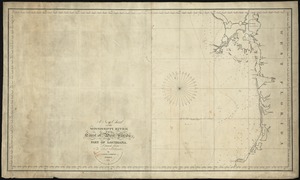
7097.
A new chart of the Mississippi River, the coast of west Florida, and part of Louisiana
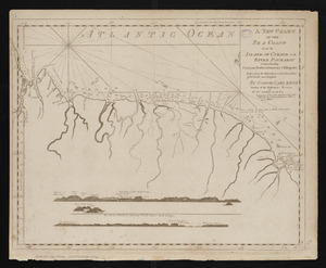
7098.
A new chart of the sea coast from the island of Cyenne to the river Poumaron comprehending Surinam Berbice Demerary & Essequebo...
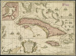
7099.
A new chart of the seas surrounding the island of Cuba, with the soundings, currents, ships, courses &c. and a map of the...
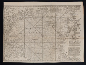
7100.
A new chart of the vast Atlantic Ocean
‹ Prev
Next ›
1
2
…
351
352
353
354
355
356
357
358
359
…
683
684