Toggle navigation
LMEC Home
Exhibitions
Georeferencing
Tools for Teachers
Collections
My Favorites
Sign Up / Log In
Search
Search the map portal
Map Collection
Map Collection
Map Sets
Search
Search
Search for
Search In
All Fields
Creator
Title
Subject
Place
Search All Digital Collections
Advanced Search
13500 Results
Filter your Search
Place
North and Central America
10,215
United States
8,350
Massachusetts
2,772
Suffolk (county)
1,670
Boston
1,626
Europe
1,386
Canada
949
New York
640
more
Place
»
Topic
Boston (Mass.)--Maps
743
City planning--Massachusetts--Boston--Maps
418
United States--History--Revolution, 1775-1783--Maps
329
United States--Maps
316
Urban renewal--Massachusetts--Boston--Maps
254
Real property--Massachusetts--Boston--Maps
253
Massachusetts--Maps
230
Insurance surveys
197
more
Topic
»
Date
Date range begin
–
Date range end
Current results range from
1482
to
2023
View distribution
Creator
United States. Hydrographic Office
596
Boston Redevelopment Authority
404
Des Barres, Joseph F. W. (Joseph Frederick Wallet), 1722-1824
247
Royal United Services Institute for Defence and Security Studies
160
Jefferys, Thomas, -1771
154
George, III, King of Great Britain, 1738-1820
152
George, IV, King of Great Britain, 1762-1830
151
O.H. Bailey & Co
148
more
Creator
»
Format
Maps/Atlases
13,319
Manuscripts
985
Prints
102
Books
49
Drawings/Illustrations
44
Photographs
15
Objects/Artifacts
13
Documents
7
more
Format
»
Georeferenced
Yes
979
No
12,521
Collection
Norman B. Leventhal Map & Education Center Collection
9,006
American Revolutionary War-Era Maps
3,305
Boston and New England Maps
2,893
Urban Maps
2,420
Maritime Charts and Atlases
1,167
William L. Clements Library Collection
910
Library of Congress Collection
618
Boston Redevelopment Authority Collection
475
more
Collection
»
Available to use
No known restrictions
10,067
Creative Commons license
1,677
Search Constraints
Sort by relevance
relevance
title
date (asc)
date (desc)
Number of results to display per page
20 per page
10
per page
20
per page
50
per page
100
per page
View results as:
grid view
map view
Search Results
5061.
Map of Hillsboro Co., New Hampshire
5062.
Map of Hillsdale Co., Michigan
5063.
Map of Ho-De-No-Sau-Nee-Ga or the people of the long house : compiled 1851 by Lewis H. Morgan & Ely S. Parker a Seneca sachem...
5064.
Map of Honolulu
5065.
A map of Honolulu and the Sandwich Islands which we now call the Hawaiian Islands
5066.
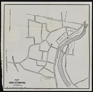
Map of Housatonic
5067.
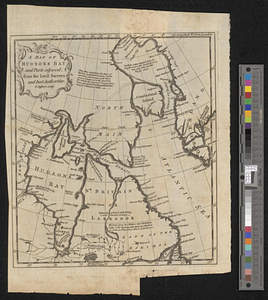
A map of Hudsons Bay and parts adjacent from the latest surveys and best authorities
5068.
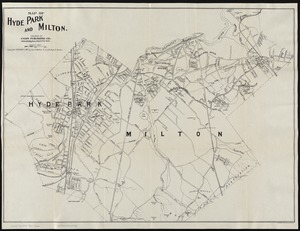
Map of Hyde Park and Milton
5069.
Map of Hyde Park and Milton
5070.
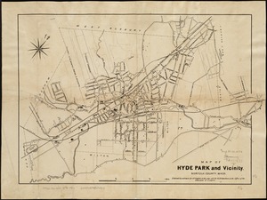
Map of Hyde Park and Vicinity : Norfolk County, Mass
5071.
Map of Illinois
5072.
Map of Indiana
5073.
Map of Iowa
5074.
A map of Ireland according to the best authorities
5075.
Map of Italy and Switzerland
5076.
Map of Italy with the ancient and modern names
5077.
Map of Jackson County, Michigan
5078.
Map of Jamaica : prepared from the best authorities by order of His Excellency Sir Henry Wylie Norman, G.C.B. G.C.M.G., C.I.E.,...
5079.
[Map of Japan]
5080.
Map of Japan
‹ Prev
Next ›
1
2
…
250
251
252
253
254
255
256
257
258
…
674
675


![[Map of Japan]](https://bpldcassets.blob.core.windows.net/derivatives/images/commonwealth:794083229/image_thumbnail_300.jpg)
