Toggle navigation
LMEC Home
Exhibitions
Georeferencing
Tools for Teachers
Collections
My Favorites
Sign Up / Log In
Search
Search the map portal
Map Collection
Map Collection
Map Sets
Search
Search
Search for
Search In
All Fields
Creator
Title
Subject
Place
Search All Digital Collections
Advanced Search
13680 Results
Filter your Search
Place
North and Central America
10,344
United States
8,475
Massachusetts
2,789
Suffolk (county)
1,677
Boston
1,633
Europe
1,415
Canada
950
New York
649
more
Place
»
Topic
Boston (Mass.)--Maps
747
City planning--Massachusetts--Boston--Maps
418
United States--History--Revolution, 1775-1783--Maps
329
United States--Maps
322
Real property--Massachusetts--Boston--Maps
254
Urban renewal--Massachusetts--Boston--Maps
254
Massachusetts--Maps
231
Insurance surveys
197
more
Topic
»
Date
Date range begin
–
Date range end
Current results range from
1482
to
2023
View distribution
Creator
United States. Hydrographic Office
597
Boston Redevelopment Authority
404
Des Barres, Joseph F. W. (Joseph Frederick Wallet), 1722-1824
247
Royal United Services Institute for Defence and Security Studies
160
Jefferys, Thomas, -1771
154
George, III, King of Great Britain, 1738-1820
152
George, IV, King of Great Britain, 1762-1830
151
O.H. Bailey & Co
148
more
Creator
»
Format
Maps/Atlases
13,499
Manuscripts
985
Prints
102
Books
49
Drawings/Illustrations
44
Photographs
15
Objects/Artifacts
13
Documents
7
more
Format
»
Georeferenced
Yes
979
No
12,701
Collection
Norman B. Leventhal Map & Education Center Collection
9,096
American Revolutionary War-Era Maps
3,305
Boston and New England Maps
2,915
Urban Maps
2,471
Maritime Charts and Atlases
1,169
William L. Clements Library Collection
910
Library of Congress Collection
618
Boston Redevelopment Authority Collection
475
more
Collection
»
Available to use
No known restrictions
10,246
Creative Commons license
1,678
Search Constraints
Sort by relevance
relevance
title
date (asc)
date (desc)
Number of results to display per page
20 per page
10
per page
20
per page
50
per page
100
per page
View results as:
grid view
map view
Search Results
5321.
Map of New England : with adjacent portions of New York & Canada
5322.
A Map of New England & ye country adjacent, : extending northward to Quebec, & westward to Niagara, on Lake Ontario; shewing...
5323.
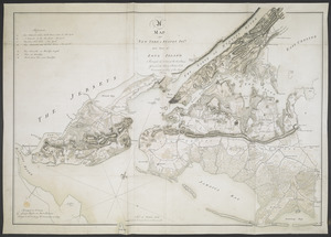
[Map of New England, 31st]
5324.
A map of New England and New York
5325.
A map of New England and New York
5326.
A map of New England, and Nova Scotia : with part of New York, Canada, and New Britain & the adjacent islands of New Found...
5327.
A map of New England, and Nova Scotia; with part of New York, Canada, and New Britain & the adjacent islands of New Found Land...
5328.
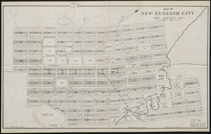
Map of New England City, Dade County, Ga
5329.
Map of New England exhibiting the rail road & telegraphic lines now in operation
5330.
Map of New England exhibiting the rail road and telegraphic lines now in operation
5331.
A map of New England, New York, New Jersey and Pensilvania
5332.
Map of New England with adjacent portions of New York & Canada
5333.
Map of New England with adjacent portions of New York & Canada
5334.
Map of New England with adjacent portions of New York & Canada
5335.
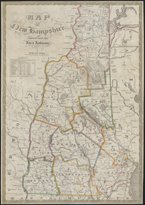
Map of New Hampshire : compiled from the latest authorities
5336.
Map of New Milford, Litchfield Co., Conn
5337.
A MAP of NEW YORK, & STATEN ISLDS; And part of LONG ISLAND : Surveyed by Order of His Excellency General Sir Henry Clinton K.B....
5338.
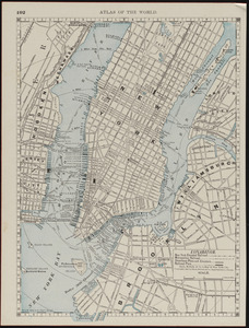
Map of New York and vicinity
5339.
Map of New York and vicinity
5340.
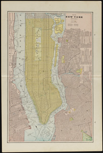
Map of New York City
‹ Prev
Next ›
1
2
…
263
264
265
266
267
268
269
270
271
…
683
684


![[Map of New England, 31st]](https://bpldcassets.blob.core.windows.net/derivatives/images/commonwealth:wd3763094/image_thumbnail_300.jpg)