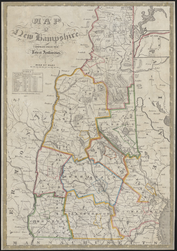
Map of New Hampshire : compiled from the latest authorities
Item Information
- Title:
- Map of New Hampshire : compiled from the latest authorities
- Publisher:
- Robinson, Lewis
- Date:
-
1861
- Format:
-
Maps/Atlases
- Location:
-
Boston Public Library
Norman B. Leventhal Map & Education Center - Collection (local):
-
Norman B. Leventhal Map & Education Center Collection
- Subjects:
-
New Hampshire--Maps
- Places:
-
New Hampshire
- Extent:
- 1 map : hand colored ; 59 x 40 cm
- Terms of Use:
-
No known copyright restrictions.
No known restrictions on use.
- Publisher:
-
Boston :
Lewis Robinson
- Scale:
-
Scale approximately 1:440,000
- Language:
-
English
- Notes:
-
Prime meridian: Washington, D.C.
Relief shown by hachures.
Includes continuation inset of N. part of New Hampshire.
Includes table showing population by county in 1850.
- Identifier:
-
06_01_016142
- Call #:
-
G3740 1861 .R63
- Barcode:
-
39999085943379


