Toggle navigation
LMEC Home
Exhibitions
Georeferencing
Tools for Teachers
Collections
My Favorites
Sign Up / Log In
Search
Search the map portal
Map Collection
Map Collection
Map Sets
Search
Search
Search for
Search In
All Fields
Creator
Title
Subject
Place
Search All Digital Collections
Advanced Search
2888 Results
My Search
Start Over
atlas
Remove constraint atlas
Filter your Search
Place
North and Central America
1,673
United States
1,009
Europe
470
Massachusetts
359
Canada
271
South America
193
Asia
192
Suffolk (county)
165
more
Place
»
Topic
Landowners--Massachusetts--Boston--Maps
115
Real property--Massachusetts--Boston--Maps
106
United States--Maps
87
Boston (Mass.)--Maps
64
United States--History--French and Indian War, 1754-1763--Maps
63
Saint Lawrence River--Maps
41
Nautical charts--Early works to 1800
39
North America--Maps--Early works to 1800
36
more
Topic
»
Date
Date range begin
–
Date range end
Current results range from
1482
to
2023
View distribution
Creator
United States. Hydrographic Office
584
Des Barres, Joseph F. W. (Joseph Frederick Wallet), 1722-1824
118
Ptolemy, 2nd cent
100
Bromley, George Washington
99
Bromley, Walter Scott
97
G.W. Bromley & Co.
75
Carey, Mathew, 1760-1839
74
Paullin, Charles Oscar, 1868 or 1869-1944
70
more
Creator
»
Format
Maps/Atlases
2,872
Manuscripts
58
Books
37
Prints
8
Documents
5
Drawings/Illustrations
1
Georeferenced
Yes
142
No
2,746
Collection
Norman B. Leventhal Map & Education Center Collection
2,431
Maritime Charts and Atlases
1,169
American Revolutionary War-Era Maps
504
Boston and New England Maps
386
Urban Maps
271
Massachusetts Real Estate Atlases
144
William L. Clements Library Collection
92
Mapping Boston Collection
61
more
Collection
»
Available to use
No known restrictions
2,337
Creative Commons license
158
Search Constraints
Sort by relevance
relevance
title
date (asc)
date (desc)
Number of results to display per page
20 per page
10
per page
20
per page
50
per page
100
per page
View results as:
grid view
map view
Search Results
2401.
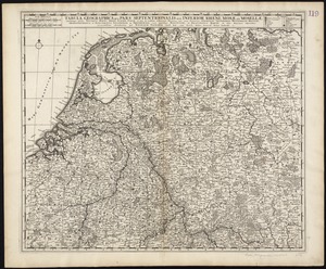
Tabula geographica qua pars septentrionalis sive Inferior Rheni, Mosae, et Mosellae, maximaeque partes Visurgis, Moeni, Amasi,...
2402.
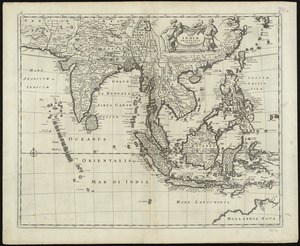
Tabula Indiae orientalis
2403.
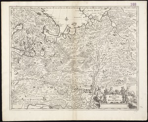
Tabula Russia vulgo Moscovia
2404.
Welt-karte zur übersicht der meeres-strömungen und des schnellverkehrs
2405.
Boston Bay and approaches
2406.
Boston Harbor, Massachusetts
2407.
Boston Harbor, Massachusetts
2408.
Boston Harbor, Massachusetts
2409.
Boston Harbour : from the survey of A.S. Wadsworth, Esq., U.S.N. and the chart of Des Barres
2410.
Boston Harbour in New England
2411.
Carte de la Baye de Baston : située dans la Nouvelle Angleterre
2412.
Carte particuliere du havre de Boston : avec les sondes les bancs de Sable, les rochers les Amaies et les autres directions...
2413.
A chart of Boston Bay and vicinity
2414.
Chart of the Banks of Newfoundland, drawn from a great number of hydrographical surveys, these charts are followed, according...
2415.
Chart of the coast of New England
2416.
A correct map of the coast of New England
2417.
A new chart of America with the harbors of New York, Boston, &c
2418.
Plan of the Inner Harbor of Boston
2419.
Africae nova descriptio
2420.
Archiepiscopatus Trevirensis recentissima delineatio
‹ Prev
Next ›
1
2
…
117
118
119
120
121
122
123
124
125
…
144
145