Toggle navigation
LMEC Home
Exhibitions
Georeferencing
Tools for Teachers
Collections
My Favorites
Sign Up / Log In
Search
Search the map portal
Map Collection
Map Collection
Map Sets
Search
Search
Search for
Search In
All Fields
Creator
Title
Subject
Place
Search All Digital Collections
Advanced Search
13680 Results
Filter your Search
Place
North and Central America
10,344
United States
8,475
Massachusetts
2,789
Suffolk (county)
1,677
Boston
1,633
Europe
1,415
Canada
950
New York
649
more
Place
»
Topic
Boston (Mass.)--Maps
747
City planning--Massachusetts--Boston--Maps
418
United States--History--Revolution, 1775-1783--Maps
329
United States--Maps
322
Real property--Massachusetts--Boston--Maps
254
Urban renewal--Massachusetts--Boston--Maps
254
Massachusetts--Maps
231
Insurance surveys
197
more
Topic
»
Date
Date range begin
–
Date range end
Current results range from
1482
to
2023
View distribution
Creator
United States. Hydrographic Office
597
Boston Redevelopment Authority
404
Des Barres, Joseph F. W. (Joseph Frederick Wallet), 1722-1824
247
Royal United Services Institute for Defence and Security Studies
160
Jefferys, Thomas, -1771
154
George, III, King of Great Britain, 1738-1820
152
George, IV, King of Great Britain, 1762-1830
151
O.H. Bailey & Co
148
more
Creator
»
Format
Maps/Atlases
13,499
Manuscripts
985
Prints
102
Books
49
Drawings/Illustrations
44
Photographs
15
Objects/Artifacts
13
Documents
7
more
Format
»
Georeferenced
Yes
979
No
12,701
Collection
Norman B. Leventhal Map & Education Center Collection
9,096
American Revolutionary War-Era Maps
3,305
Boston and New England Maps
2,915
Urban Maps
2,471
Maritime Charts and Atlases
1,169
William L. Clements Library Collection
910
Library of Congress Collection
618
Boston Redevelopment Authority Collection
475
more
Collection
»
Available to use
No known restrictions
10,246
Creative Commons license
1,678
Search Constraints
Sort by relevance
relevance
title
date (asc)
date (desc)
Number of results to display per page
20 per page
10
per page
20
per page
50
per page
100
per page
View results as:
grid view
map view
Search Results
2801.
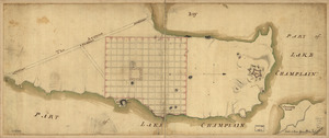
Crown Point & part of Lake Champlain
2802.
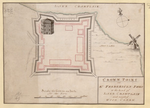
CROWN POINT or ST. FREDERICK'S FORT at the head of LAKE CHAMPLAIN and the Mouth of WOOD CREEK
2803.
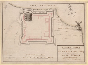
CROWN POINT or ST. FREDERICK'S FORT at the head of LAKE CHAMPLAIN and the Mouth of WOOD CREEK
2804.
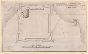
Crown Point or S.t Frederick's Fort at the Head of Lake Champlain and the Mouth of Wood Creek
2805.
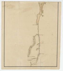
Crown Point to Fort Edward, New York
2806.
Cruchley's map of Central Europe, shewing the new political divisions : also all the railways, &c.
2807.
Cruchley's new plan of London shewing all the new and intended improvements to the present time
2808.
Cruchley's new plan of London shewing all the new and intended improvements to the present time
2809.
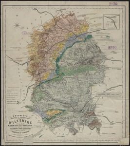
Cruchley's railway & telegraphic map of Wiltshire : showing all the railways & names of stations, also the telegraph lines &...
2810.
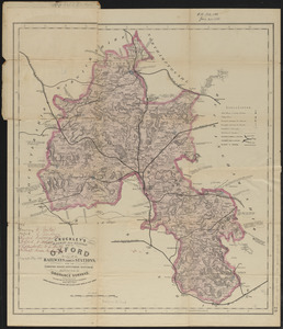
Cruchley's railway and station map of Oxford : showing all the railways & names of stations, also the turnpike roads,...
2811.
Cruchley's travelling railway map of England & Wales
2812.
Cruchley's visitors' map of the environs of Norwich, from the Ordnance Survey
2813.
Le Cte. d'Estaing laisse deux vaisseaux et trois frégates de son escadre à la poursuite de la frégate Anglaise la Mairmaide,...
2814.
Cuatreros
2815.
Cuba, ciudad capittal de la ysla del mismo nombre y su famoso puerto sittuado en la costa del sur de gra. ysla, los 20 grados y...
2816.
Cuba en Iamaica : soo als die door Kolumbus ontdekt, en by de Kastilianen bevolkt sijn = Iles de Cuba et de la Jamaique : ainsi...
2817.
Cuba Insula ; Hispaniola Insula
2818.
Cuba, south coast, approaches to Ports Casilda and Masio with the adjacent anchorages : from a Spanish government chart of 1879
2819.
Culiacanae, Americae regionis, descriptio : Hispaniolae, Cubae, aliarumque insularum circumiacientium, delineatio
2820.
Cultural facilities conceptual plan
‹ Prev
Next ›
1
2
…
137
138
139
140
141
142
143
144
145
…
683
684