Toggle navigation
LMEC Home
Exhibitions
Georeferencing
Tools for Teachers
Collections
My Favorites
Sign Up / Log In
Search
Search the map portal
Map Collection
Map Collection
Map Sets
Search
Search
Search for
Search In
All Fields
Creator
Title
Subject
Place
Search All Digital Collections
Advanced Search
13393 Results
Filter your Search
Place
North and Central America
10,119
United States
8,257
Massachusetts
2,698
Suffolk (county)
1,664
Boston
1,621
Europe
1,386
Canada
949
New York
640
more
Place
»
Topic
Boston (Mass.)--Maps
741
City planning--Massachusetts--Boston--Maps
418
United States--History--Revolution, 1775-1783--Maps
329
United States--Maps
315
Urban renewal--Massachusetts--Boston--Maps
254
Real property--Massachusetts--Boston--Maps
252
Massachusetts--Maps
220
Insurance surveys
197
more
Topic
»
Date
Date range begin
–
Date range end
Current results range from
1482
to
2023
View distribution
Creator
United States. Hydrographic Office
595
Boston Redevelopment Authority
403
Des Barres, Joseph F. W. (Joseph Frederick Wallet), 1722-1824
247
Royal United Services Institute for Defence and Security Studies
160
Jefferys, Thomas, -1771
154
George, III, King of Great Britain, 1738-1820
152
George, IV, King of Great Britain, 1762-1830
151
O.H. Bailey & Co
148
more
Creator
»
Format
Maps/Atlases
13,213
Manuscripts
985
Prints
102
Books
49
Drawings/Illustrations
44
Photographs
15
Objects/Artifacts
13
Documents
7
more
Format
»
Georeferenced
Yes
979
No
12,414
Collection
Norman B. Leventhal Map & Education Center Collection
8,899
American Revolutionary War-Era Maps
3,305
Boston and New England Maps
2,812
Urban Maps
2,401
Maritime Charts and Atlases
1,150
William L. Clements Library Collection
910
Library of Congress Collection
618
Boston Redevelopment Authority Collection
475
more
Collection
»
Available to use
No known restrictions
9,960
Creative Commons license
1,677
Search Constraints
Sort by relevance
relevance
title
date (asc)
date (desc)
Number of results to display per page
20 per page
10
per page
20
per page
50
per page
100
per page
View results as:
grid view
map view
Search Results
4981.
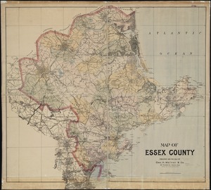
Map of Essex County
4982.
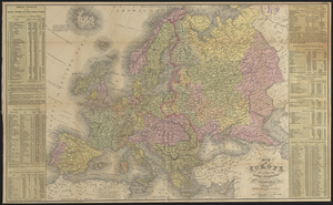
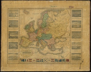
Map of Europe : drawn from all the best surveys and rectified by astronomical observations
4983.
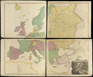
Map of Europe : compiled from the latest authorities
4984.
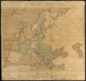
The map of Europe
4985.
A map of Europe, and the countries bordering on the Mediterranean & Black Seas, from the latest authorities
4986.
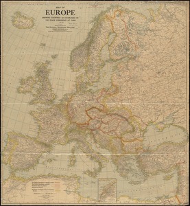
Map of Europe showing countries as established by the Peace Conference at Paris
4987.
Map of Everett and vicinity
4988.
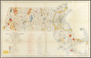
Map of existing and proposed open spaces in Massachusetts
4989.
Map of explorations and surveys in New Mexico and Utah made under the direction of the Secretary of War by Capt. J. N. Macomb...
4990.
Map of explorations in north western Alaska : under the direction of W.B. Hazen
4991.
Map of farms and lots embraced within the limits of Fairmount Park as appropriated for public use by Act of Assembly, approved...
4992.
Map of Fayette Co. Pa
4993.
A map of Fitchburg, Mass
4994.
[Map of Florida, Carolina, and the Gulf Coast]
4995.
Map of Forest Park, showing [St. Louis]
4996.
[Map of Fort Carillon]
4997.
[Map of Fort Detroit and environs]
4998.
Map of Fort Leavenworth, Kansas and vicinity
4999.
Map of Fort Leavenworth, Kas. and vicinity
5000.
[Map of Fort Pitt]
‹ Prev
Next ›
1
2
…
246
247
248
249
250
251
252
253
254
…
669
670

![[Map of Florida, Carolina, and the Gulf Coast]](https://bpldcassets.blob.core.windows.net/derivatives/images/commonwealth:z603vr379/image_thumbnail_300.jpg)
![Map of Forest Park, showing [St. Louis]](https://bpldcassets.blob.core.windows.net/derivatives/images/commonwealth:4m90fb114/image_thumbnail_300.jpg)
![[Map of Fort Carillon]](https://bpldcassets.blob.core.windows.net/derivatives/images/commonwealth:hx11z179t/image_thumbnail_300.jpg)
![[Map of Fort Detroit and environs]](https://bpldcassets.blob.core.windows.net/derivatives/images/commonwealth:hx11xz63b/image_thumbnail_300.jpg)
![[Map of Fort Pitt]](https://bpldcassets.blob.core.windows.net/derivatives/images/commonwealth:hx11z224f/image_thumbnail_300.jpg)