Toggle navigation
LMEC Home
Exhibitions
Georeferencing
Tools for Teachers
Collections
My Favorites
Sign Up / Log In
Search
Search the map portal
Map Collection
Map Collection
Map Sets
Search
Search
Search for
Search In
All Fields
Creator
Title
Subject
Place
Search All Digital Collections
Advanced Search
13584 Results
Filter your Search
Place
North and Central America
10,250
United States
8,381
Massachusetts
2,783
Suffolk (county)
1,677
Boston
1,633
Europe
1,413
Canada
950
New York
644
more
Place
»
Topic
Boston (Mass.)--Maps
747
City planning--Massachusetts--Boston--Maps
418
United States--History--Revolution, 1775-1783--Maps
329
United States--Maps
321
Real property--Massachusetts--Boston--Maps
254
Urban renewal--Massachusetts--Boston--Maps
254
Massachusetts--Maps
231
Insurance surveys
197
more
Topic
»
Date
Date range begin
–
Date range end
Current results range from
1482
to
2023
View distribution
Creator
United States. Hydrographic Office
597
Boston Redevelopment Authority
404
Des Barres, Joseph F. W. (Joseph Frederick Wallet), 1722-1824
247
Royal United Services Institute for Defence and Security Studies
160
Jefferys, Thomas, -1771
154
George, III, King of Great Britain, 1738-1820
152
George, IV, King of Great Britain, 1762-1830
151
O.H. Bailey & Co
148
more
Creator
»
Format
Maps/Atlases
13,403
Manuscripts
985
Prints
102
Books
49
Drawings/Illustrations
44
Photographs
15
Objects/Artifacts
13
Documents
7
more
Format
»
Georeferenced
Yes
979
No
12,605
Collection
Norman B. Leventhal Map & Education Center Collection
9,088
American Revolutionary War-Era Maps
3,305
Boston and New England Maps
2,906
Urban Maps
2,465
Maritime Charts and Atlases
1,169
William L. Clements Library Collection
910
Library of Congress Collection
618
Boston Redevelopment Authority Collection
475
more
Collection
»
Available to use
No known restrictions
10,151
Creative Commons license
1,677
Search Constraints
Sort by relevance
relevance
title
date (asc)
date (desc)
Number of results to display per page
20 per page
10
per page
20
per page
50
per page
100
per page
View results as:
grid view
map view
Search Results
5001.
Map of Chickamauga & Chattanooga National Park
5002.
A map of Chili, Patagonia, La Plata and ye south part of Brasil
5003.
Map of China : compiled from original surveys & sketches
5004.
Map of China, Burma, Siam, Annam &c
5005.
Map of Chippewa County, state of Wisconsin
5006.
Map of Chittenden County, Vermont
5007.
Map of Choctaw Nation, Indian Territory
5008.
Map of Cincinnati, Covington & Newport
5009.
Map of Cincinnati, Covington and Newport
5010.
Map of city of Schenectady and village of Scotia, 1917
5011.
Map of city of St. Louis and suburbs
5012.
Map of Cleveland & Toledo Rail Road, with its connections
5013.
Map of Cleveland and vicinity
5014.
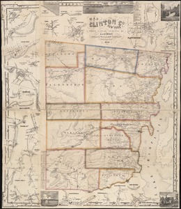
Map of Clinton Co., New York : from actual surveys
5015.
Map of Clinton County
5016.
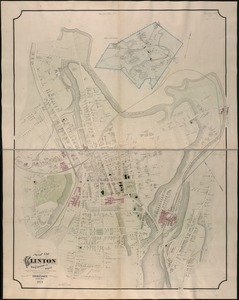
Map of Clinton Worcester Co. Mass
5017.
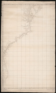
Map of coast from southern Florida to central New Jersey
5018.
Map of Colville Region, Washington Ter
5019.
Map of Commonwealth Avenue Street Railway Company, and connecting lines : showing route to Norumbega Park
5020.
A map of Concord, the old Musketaquid Plantation
‹ Prev
Next ›
1
2
…
247
248
249
250
251
252
253
254
255
…
679
680