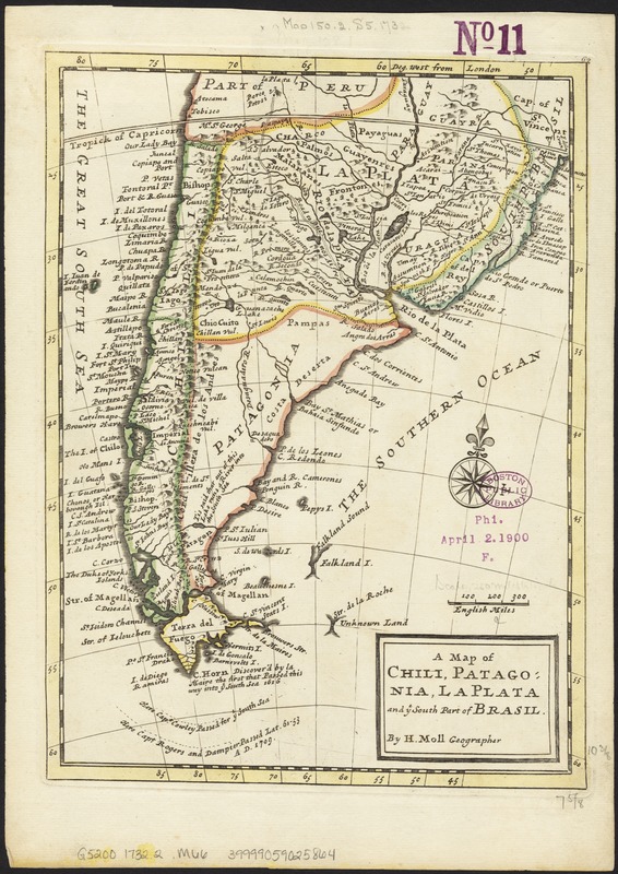
A map of Chili, Patagonia, La Plata and ye south part of Brasil
Item Information
- Title:
- A map of Chili, Patagonia, La Plata and ye south part of Brasil
- Creator:
- Moll, Herman, d. 1732
- Name on Item:
-
by H. Moll.
- Date:
-
[1732?]
- Format:
-
Maps/Atlases
- Location:
-
Boston Public Library
Norman B. Leventhal Map & Education Center - Collection (local):
-
Norman B. Leventhal Map & Education Center Collection
- Subjects:
-
South America--Maps--Early works to 1800
Patagonia (Argentina and Chile)--Maps--Early works to 1800
- Places:
-
South America
ArgentinaPatagonia (area)
South America
- Extent:
- 1 map : col. ; 27 x 20 cm.
- Terms of Use:
-
No known copyright restrictions.
No known restrictions on use.
- Publisher:
-
London :
Printed for T. Bowles and J. Bowles
- Scale:
-
Scale ca. 1:18,000,000.
- Language:
-
English
- Notes:
-
Relief shown pictorially.
Appears in the author's Atlas minor. London: Printed for T. Bowles and J. Bowles, 1732?
In upper right margin: 62.
Shows modern day Chile, Argentina, Paraguay, Uruguay, and southern Brazil.
Cataloging, conservation, and digitization made possible in part by The National Endowment for the Humanities: Exploring the human endeavor.
- Identifier:
-
06_01_006472
- Call #:
-
G5200 1732.2 .M66
- Barcode:
-
39999059025864


