Toggle navigation
LMEC Home
Exhibitions
Georeferencing
Tools for Teachers
Collections
My Favorites
Sign Up / Log In
Search
Search the map portal
Map Collection
Map Collection
Map Sets
Search
Search
Search for
Search In
All Fields
Creator
Title
Subject
Place
Search All Digital Collections
Advanced Search
4128 Results
My Search
Start Over
Date Range
before 1800
Remove constraint Date Range: before 1800
All Fields
americas
Remove constraint All Fields: americas
Filter your Search
Place
North and Central America
3,718
United States
2,492
Canada
642
Massachusetts
471
New York
376
North America
307
South America
204
Maine
203
more
Place
»
Topic
United States--History--Revolution, 1775-1783--Maps
321
North America--Maps--Early works to 1800
179
United States--History--French and Indian War, 1754-1763--Maps
161
Manuscript maps--Early works to 1800
121
New England--Maps--Early works to 1800
89
America--Maps--Early works to 1800
73
United States--Maps--Early works to 1800
59
Western Hemisphere--Maps--Early works to 1800
59
more
Topic
»
Date
Date range begin
–
Date range end
Current results range from
1507
to
1899
View distribution
Creator
Des Barres, Joseph F. W. (Joseph Frederick Wallet), 1722-1824
196
Jefferys, Thomas, -1771
149
George, III, King of Great Britain, 1738-1820
146
George, IV, King of Great Britain, 1762-1830
145
Royal United Services Institute for Defence and Security Studies
137
Amherst, Jeffery Amherst, Baron, 1717-1797
110
Sayer, Robert, 1725-1794
99
Faden, William, 1749-1836
93
more
Creator
»
Format
Maps/Atlases
4,046
Manuscripts
739
Drawings/Illustrations
36
Prints
34
Books
8
Objects/Artifacts
3
Documents
1
Ephemera
1
Georeferenced
Yes
113
No
4,015
Collection
American Revolutionary War-Era Maps
3,095
Norman B. Leventhal Map & Education Center Collection
1,166
William L. Clements Library Collection
887
Library of Congress Collection
552
Town plans, 1794
401
British Library Collection
346
Maritime Charts and Atlases
331
Richard H. Brown Revolutionary War Map Collection at Mount Vernon
274
more
Collection
»
Available to use
No known restrictions
1,525
Creative Commons license
1,430
Search Constraints
Sort by relevance
relevance
title
date (asc)
date (desc)
Number of results to display per page
20 per page
10
per page
20
per page
50
per page
100
per page
View results as:
grid view
map view
Search Results
221.
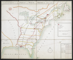
CANTONMENT OF THE FORCES IN NORTH AMERICA 11.th OCT.R 1765
222.
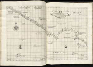
Recens elaborata mappa geographica regni Brasiliae in America Meridionali maxime celebris
223.
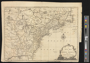
A Map of the present seat of war in North America
224.
Exact plan of General Gage's lines on Boston Neck in America
225.
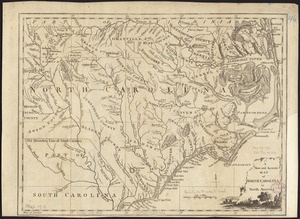
A new and accurate map of North Carolina in North America
226.
A New map of the province of Maryland in North America
227.
Exact plan of General Gage's lines on Boston Neck in America
228.
Exact plan of General Gage's lines on Boston Neck in America
229.
Exact plan of General Gage's lines on Boston Neck in America
230.
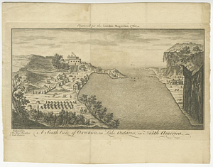
A south view of Oswego, on Lake Ontario, in North America
231.
British dominions in America, drawn from the latest and best authorities
232.
Carta particolare della America è parte maestrale dal C. di Cedros
233.
A new map of North America from the latest discoveries 1761
234.
A new map of North America from the latest discoveries 1763
235.
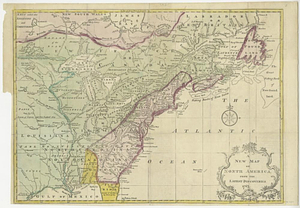
A map of the British and French settlements in North America
236.
Plan of the river &c from Albany to Oswego in America
237.
A general map of North America drawn from the best surveys 1795
238.
A new and accurate map of the English empire in North America : representing their rightful claim as confirm'd by charters, and...
239.
Bowles's new and accurate map of North America and the West Indies : exhibiting the extent and boundaries of the United States,...
240.
America, with the European Settlements, and the conquests of Cortes and Pizarro
‹ Prev
Next ›
1
2
…
8
9
10
11
12
13
14
15
16
…
206
207