Downtown flood progression, 36 inches sea level rise
Item Information
- Title:
- Downtown flood progression, 36 inches sea level rise
- Description:
-
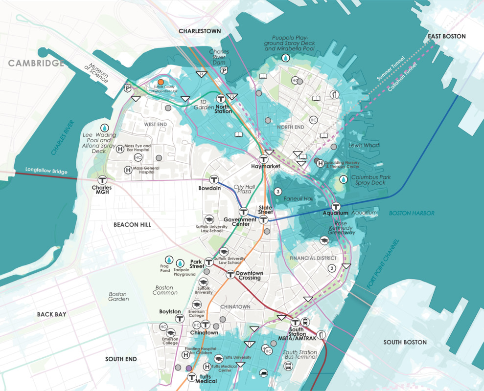
This map illustrates the flood impact on Boston’s downtown if the sea rises by thirty-six inches. Much of the “made” land in Boston is once again water in this image, and the remaining land mass echoes the look of the original Shawmut peninsula. In this scenario, North Station, Faneuil Hall, and the New England Aquarium are all be vulnerable to flooding, because these parts of the City that were built on fill decades ago are low-lying. They will become more and more vulnerable to flooding as the level of Boston Harbor’s water rises.
- Cartographer:
- Climate Ready Boston
- Date:
-
2016
- Format:
-
Maps/Atlases
- Location:
-
Boston Public Library
Norman B. Leventhal Map & Education Center - Collection (local):
-
Norman B. Leventhal Map & Education Center Collection
- Subjects:
-
Boston (Mass.)--Maps
Sea level--Massachusetts--Boston--Maps
Climatic changes--Massachusetts--Boston--Maps
- Places:
-
MassachusettsSuffolk (county)Boston
- Extent:
- 1 map : color
- Terms of Use:
-
No known copyright restrictions.
No known restrictions on use.
- Publisher:
-
Boston :
Climate Ready Boston
- Language:
-
English
- Notes:
-
The 2016 Climate Ready Boston report was led by the City of Boston in partnership with the Green Ribbon Commission. The project team included the City of Boston, HR&A, Arcadis, Sasaki Associates, and the Boston Research Advisory Group at the University of Massachusetts Boston. Funding was provided by the Barr Foundation, the Massachusetts Coastal Zone Management Program, and the Sherry and Alan Leventhal Foundation.
- Notes (exhibitions):
-
Exhibited: "Regions and Seasons: Mapping Climate through History" organized by the Norman B. Leventhal Map Center at the Boston Public Library, 2017.
- Identifier:
-
CRB_baseMBTA_final


