Toggle navigation
LMEC Home
Exhibitions
Georeferencing
Tools for Teachers
Collections
My Favorites
Sign Up / Log In
Search
Search the map portal
Map Collection
Map Collection
Map Sets
Search
Search
Search for
Search In
All Fields
Creator
Title
Subject
Place
Search All Digital Collections
Advanced Search
136 Results
My Search
Start Over
1895
Remove constraint 1895
Filter your Search
Place
North and Central America
129
United States
116
Massachusetts
35
Boston
18
Suffolk (county)
18
Michigan
17
Middlesex (county)
8
New York
7
more
Place
»
Topic
Boston (Mass.)--Maps
15
Huron, Lake (Mich. and Ont.)--Maps
5
Nautical charts--Superior, Lake
5
Chicago (Ill.)--Maps
4
Chicago (Ill.)--Salaries, etc--Maps
4
Ethnology--Illinois--Chicago--Maps
4
Michigan, Lake--Maps
4
Nautical charts--Huron, Lake (Mich. and Ont.)
4
more
Topic
»
Date
Date range begin
–
Date range end
Current results range from
1830
to
1963
View distribution
Creator
Dougal, William H., 1822-1895
29
U.S. Lake Survey
26
United States. Post Office Dept
23
Macomb, J. N. (John N.), 1810 or 1811-1889
15
Meade, George Gordon, 1815-1872
13
United States. Topographical Bureau
11
Mueller, J. U. (John U.)
10
Raynolds, W. F. (William Franklin), 1820-1894
10
more
Creator
»
Format
Maps/Atlases
135
Books
2
Manuscripts
1
Photographs
1
Prints
1
Georeferenced
Yes
31
No
105
Collection
Norman B. Leventhal Map & Education Center Collection
127
Boston and New England Maps
38
Urban Maps
32
Maritime Charts and Atlases
22
Massachusetts Real Estate Atlases
5
Robert E. Diefenbach Map Collection at Phillips Academy
3
Mapping Boston Collection
1
Town plans, 1830
1
Available to use
No known restrictions
130
Creative Commons license
1
Search Constraints
Sort by date (desc)
relevance
title
date (asc)
date (desc)
Number of results to display per page
20 per page
10
per page
20
per page
50
per page
100
per page
View results as:
grid view
map view
Search Results
1.
Map of Ho-De-No-Sau-Nee-Ga or the people of the long house : compiled 1851 by Lewis H. Morgan & Ely S. Parker a Seneca sachem...
2.
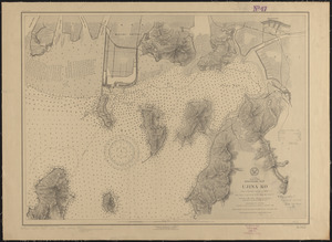
Japan, Inland Sea, Hiroshima Wan, Ujina Ko : from a Japanese survey in 1895
3.
West coast of Africa, Salum and Jumbas Rivers : from a French sketch survey in 1895
4.
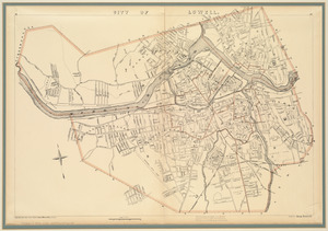
City of Lowell
5.
United States
6.
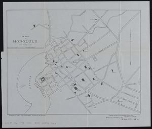
Map of Honolulu
7.
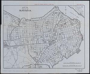
Map of the city of Havana : [casos de fiebre amarilla, muertes de niños menores, y muertes de tuberculosis]
8.
Afrique 1899
9.
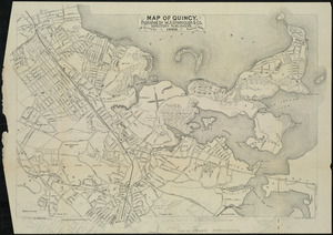
Map of Quincy
10.
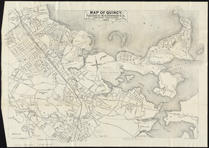
Map of Quincy
11.
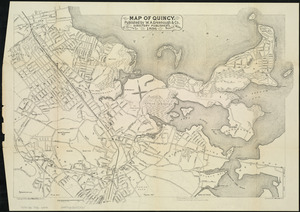
Map of Quincy
12.
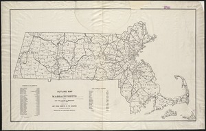
Outline map of Massachusetts showing legal voters according to Massachusetts census of 1895 : prepared for the Joint Special...
13.
Atlas of the city of Boston : Boston proper and Roxbury
14.
Atlas of the city of Boston : Boston proper and Roxbury : from actual surveys and official plans
15.
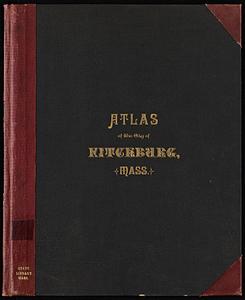
Atlas of the city of Fitchburg, Worcester County, Massachusetts : from official records and surveys
16.
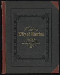
Atlas of the city of Newton, Massachusetts
17.
Atlas of the city of Newton, Massachusetts : from actual surveys and official plans
18.
Atlas of the city of Northampton and the town of Easthampton, Hampshire County, Massachusetts
19.
Atlas of the city of Somerville, Massachusetts : from actual surveys and official plans
20.
Atlas of the town of Hull, Plymouth County, and part of the Jerusalem Road, Norfolk County, Massachussetts, from actual surveys...
‹ Prev
Next ›
1
2
3
4
5
6
7