Toggle navigation
LMEC Home
Exhibitions
Georeferencing
Tools for Teachers
Collections
My Favorites
Sign Up / Log In
Search
Search the map portal
Map Collection
Map Collection
Map Sets
Search
Search
Search for
Search In
All Fields
Creator
Title
Subject
Place
Search All Digital Collections
Advanced Search
160 Results
My Search
Start Over
1860
Remove constraint 1860
Filter your Search
Place
North and Central America
97
United States
72
Europe
21
Canada
14
Boston
12
Suffolk (county)
12
New York
7
Massachusetts
6
more
Place
»
Topic
Boston (Mass.)--Maps
11
New England--Maps
6
United States--Maps
6
Canada--Boundaries--United States--Maps
5
United States--Boundaries--Canada--Maps
5
Southern States--Maps
4
Switzerland--Maps
4
United States--History--Civil War, 1861-1865--Maps
4
more
Topic
»
Date
Date range begin
–
Date range end
Current results range from
1702
to
1932
View distribution
Creator
Bartholomew, J. G. (John George), 1860-1920
10
Moore, John Bassett, 1860-1947
8
United States. Congress (53rd, 2nd session : 1893-1894). House
8
E.P. Dutton (Firm)
6
United States. Hydrographic Office
6
Boston (Mass.). Engineering Dept
4
J.M. Dent & Sons
4
United States Coast Survey
4
more
Creator
»
Format
Maps/Atlases
157
Manuscripts
6
Prints
2
Drawings/Illustrations
1
Posters
1
Georeferenced
Yes
24
No
136
Collection
Norman B. Leventhal Map Center Collection
155
Boston and New England Maps
31
Urban Maps
25
Maritime Charts and Atlases
15
American Revolutionary War-Era Maps
2
Mapping Boston Collection
2
American Antiquarian Society Collection
1
Lucius Beebe Memorial Library Historic Maps
1
more
Collection
»
Available to use
No known restrictions
152
Creative Commons license
4
Search Constraints
Sort by date (asc)
relevance
title
date (asc)
date (desc)
Number of results to display per page
20 per page
10
per page
20
per page
50
per page
100
per page
View results as:
grid view
map view
Search Results
1.
Le Canada, ou Nouvelle France, la Floride, la Virginie, Pensilvanie, Caroline, Nouvelle Angleterre et Nouvelle Yorck, l'Isle de...
2.
A new map of the province of Quebec, : according to the Royal proclamation, of the 7th of October 1763
3.
La Pensilvania, la Nuova York, il Jersey Settentrio[na]le : con la parte occidentale del Connecticut, Massachusset-s-bay e...
4.
A map of the world
5.
Solar and lunar eclipse diagrams
6.
Plan of Hancock made by Rodman Hazard, dated November 20, 1830
7.
A map of Amherst with a view of the college and Mount Pleasant Institution
8.
New-England
9.
Map of a woman's heart
10.
Seven miles around Jerusalem : from original surveys and observations
11.
Plan or map showing the laying out of Rail Road Street
12.
Athens
13.
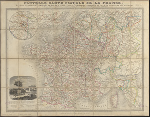
Nouvelle carte postale de la France, à l'usage des voyageurs, comprenant le nord de l'Italie, la Suisse, la Hollande, la...
14.
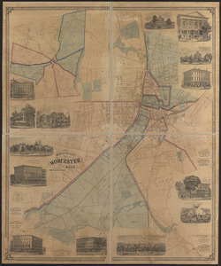
Map of the city of Worcester, Mass.
15.
University and city of Oxford
16.
The battle-field of the nations : a panoramic view of the seat of war in the Danubian provinces, Turkey, Asia Minor, Southern...
17.
New York city map
18.
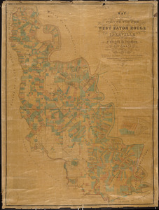
Map of the parishes of Pointe Coupee, West Baton Rouge and Iberville : including parts of the parishes of St. Martins and...
19.
Complete map of the rail roads and water courses in the United States & Canada
20.
4 Kinten
‹ Prev
Next ›
1
2
3
4
5
…
7
8


![La Pensilvania, la Nuova York, il Jersey Settentrio[na]le](https://bpldcassets.blob.core.windows.net/derivatives/images/commonwealth:z603vq53g/image_thumbnail_300.jpg)