Toggle navigation
LMEC Home
Exhibitions
Georeferencing
Tools for Teachers
Collections
My Favorites
Sign Up / Log In
Search
Search the map portal
Map Collection
Map Collection
Map Sets
Search
Search
Search for
Search In
All Fields
Creator
Title
Subject
Place
Search All Digital Collections
Advanced Search
1085 Results
My Search
Start Over
Back Bay Boston
Remove constraint Back Bay Boston
Filter your Search
Place
North and Central America
834
United States
532
Massachusetts
238
Suffolk (county)
179
Boston
173
Canada
116
South America
62
Asia
61
more
Place
»
Topic
Boston (Mass.)--Maps
60
City planning--Massachusetts--Boston--Maps
48
Back Bay (Boston, Mass.)--Maps
47
North America--Maps--Early works to 1800
35
Landowners--Massachusetts--Boston--Maps
26
Real property--Massachusetts--Boston--Maps
26
New England--Maps--Early works to 1800
24
Nova Scotia--Maps--Early works to 1800
24
more
Topic
»
Date
Date range begin
–
Date range end
Current results range from
1565
to
2020
View distribution
Creator
United States. Hydrographic Office
277
Des Barres, Joseph F. W. (Joseph Frederick Wallet), 1722-1824
64
Boston Redevelopment Authority
36
Jefferys, Thomas, -1771
24
Sayer, Robert, 1725-1794
24
Franke, M. (Max)
23
U.S. Lake Survey
22
United States Exploring Expedition (1838-1842)
21
more
Creator
»
Format
Maps/Atlases
1,070
Manuscripts
69
Drawings/Illustrations
10
Objects/Artifacts
3
Prints
3
Books
1
Posters
1
Georeferenced
Yes
54
No
1,031
Collection
Norman B. Leventhal Map & Education Center Collection
946
Maritime Charts and Atlases
481
Boston and New England Maps
266
American Revolutionary War-Era Maps
231
Urban Maps
138
Boston Redevelopment Authority Collection
54
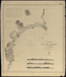
Mapping Boston Collection
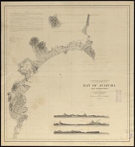
40
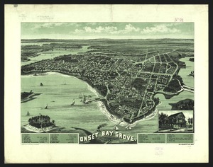
Library of Congress Collection
35
more
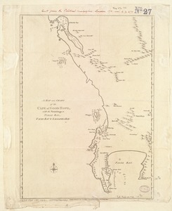
Collection
»
Available to use
No known restrictions
947
Creative Commons license
112
Search Constraints
Sort by relevance
relevance
title
date (asc)
date (desc)
Number of results to display per page
20 per page
10
per page
20
per page
50
per page
100
per page
View results as:
grid view
map view
Search Results
121.
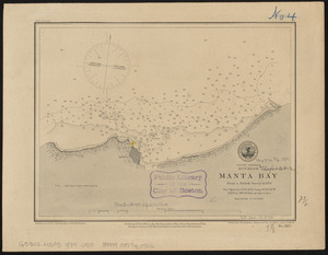
South America, Ecuador, Manta Bay : from a British survey in 1876
122.
Hawaiian Islands, Hawaii, Hilo Bay : from a Hawaiian government survey in 1882
123.
Newfoundland - north coast, Pistolet Bay : from a French survey in 1861
124.
Harbour and bay of Gaspee : Maul Bay
125.
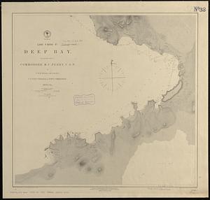
Loo Choo Id., Deep Bay
126.
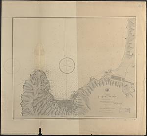
South America, Chili, Valparaiso Bay : from a Chilian survey in 1877
127.
Chesapeake Bay, environmentally sensitive areas
128.
[Buzzards Bay and Vineyard Sound]
129.
[Buzzards Bay and Vineyard Sound]
130.
Alton and Alton Bay, N.H : 1888
131.
Shah Bay, Loo Choo I.
132.
Bay of Avatcha and approaches
133.
Bay of Avatcha and approaches
134.
Onset Bay Grove, Wareham, Mass
135.
[Coast of Rhode Island and Long Island from Narragansett Bay to Peconic Bay]
136.
Massachusetts Bay Transportation Authority system map
137.
A Map and chart of the Cape of Good Hope, with the soundings in Table Bay, False Bay and Saldanha Bay
138.
South Bay and Savin Hill parks : Dorchester district
139.
Chart of the Bay of Fundy from Machias Bay to 64°35' west longitude
140.
Bay of Massefao, island of Tutuila ; Bay of Fagaitui, island of Tutuila ; Sketch of Aluau Bay, 1839 ; Sketch of Anuu Island, 1839
‹ Prev
Next ›
1
2
3
4
5
6
7
8
9
10
11
…
54
55


![[Buzzards Bay and Vineyard Sound]](https://bpldcassets.blob.core.windows.net/derivatives/images/commonwealth:7h149w47r/image_thumbnail_300.jpg)
![[Buzzards Bay and Vineyard Sound]](https://bpldcassets.blob.core.windows.net/derivatives/images/commonwealth:7h149z564/image_thumbnail_300.jpg)


![[Coast of Rhode Island and Long Island from Narragansett Bay to Peconic Bay]](https://bpldcassets.blob.core.windows.net/derivatives/images/commonwealth:7h149z14m/image_thumbnail_300.jpg)