Toggle navigation
LMEC Home
Exhibitions
Georeferencing
Tools for Teachers
Collections
My Favorites
Sign Up / Log In
Search
Search the map portal
Map Collection
Map Collection
Map Sets
Search
Search
Search for
Search In
All Fields
Creator
Title
Subject
Place
Search All Digital Collections
Advanced Search
149 Results
My Search
Start Over
1886
Remove constraint 1886
Filter your Search
Place
North and Central America
117
United States
93
Massachusetts
43
Middlesex (county)
19
Asia
16
Suffolk (county)
14
Boston
12
Worcester (county)
10
more
Place
»
Topic
Zoning
9
Boston (Mass.)--Maps
8
China--Historical geography--Maps
6
Brookline (Mass.)--Maps
3
Massachusetts--Maps
3
Atlantic Coast (N.S.)--Maps
2
Atlantic Coast (New England)--Maps
2
Boston (Mass.)--Aerial views
2
more
Topic
»
Date
Date range begin
–
Date range end
Current results range from
1831
to
1994
View distribution
Creator
United States. Hydrographic Office
37
Burleigh, L. R., 1853-1923
22
Herrmann, Albert, 1886-1945
11
Comey, Arthur C. (Arthur Coleman), 1886-1954
10
Franke, M. (Max)
7
Waddey, J. A. (John A.)
6
Birch, C. E. (Charles E.)
5
Ruebsam, E. A. (E. August)
5
more
Creator
»
Format
Maps/Atlases
149
Georeferenced
Yes
10
No
139
Collection
Norman B. Leventhal Map & Education Center Collection
133
Urban Maps
65
Boston and New England Maps
58
Maritime Charts and Atlases
43
Lucius Beebe Memorial Library Historic Maps
10
Massachusetts Real Estate Atlases
5
Town plans, 1830
1
Available to use
No known restrictions
133
Search Constraints
Sort by relevance
relevance
title
date (asc)
date (desc)
Number of results to display per page
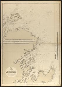
20 per page
10
per page
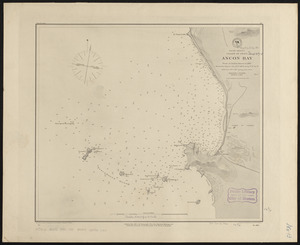
20
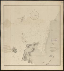
per page
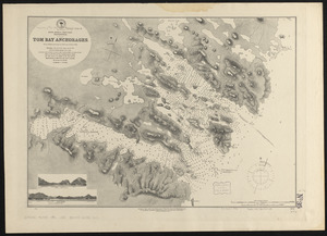
50
per page
100
per page
View results as:
grid view
map view
Search Results
121.
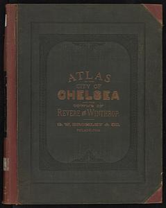
Atlas of the city of Chelsea and the towns of Revere and Winthrop, Massachusetts
122.
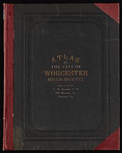
Atlas of the city of Worcester, Massachusetts
123.
Atlas of Winchendon town, Massachusetts
124.
Bahama Islands, Crooked Island Anchorage : from a British survey in 1834
125.
Caldera Bay, west end of the island of Mindanao, Sooloo Sea
126.
China, Korean Archipelago, Nan How Group, Port Hamilton : from the most recent British survey
127.
Map of Boston showing new division of wards
128.
Map of the city of Boston
129.
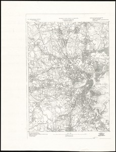
Massachusetts, Boston sheet
130.
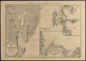
Newfoundland - east coast - Canada Bay with adjacent anchorages : from a French government survey ; 1862-3
131.
Newfoundland--south coast, the Burgeo Islands : from British surveys in 1872 ; republication of Brit. Admty. chart no. 272
132.
North America, east coast of Newfoundland, Fogo Id. to Cape Bonavista : from Brit. surveys 1869-1871 ; republication of Brit....
133.
North Pacific Ocean, Loo Choo Archipelago-- Ou-sima, Hancock Bay : from British surveys in 1872 & 1882
134.
Preliminary plan for widening Beacon Street from the Back Bay district of Boston to the public pleasure ground at Chestnut Hill...
135.
South America, coast of Peru, Ancon Bay : from an Italian survey in 1883
136.
South America, coast of Peru, Pisco Bay : from the latest French and English charts, 1885
137.
South America-- west coast, Patagonia, Tom Bay anchorages : from British surveys in 1879, corrected to 1882
138.
West coast of Central America, Gulf of Fonseca, San Lorenzo Bay
139.
Ashburnham, Mass
140.
Ayer, Mass
‹ Prev
Next ›
1
2
3
4
5
6
7
8