Search Constraints
Search Results

13241. Westliche halbkugel


13243. Weymouth, Mass., 1880


13245. Whale chart

13246. Whale chart


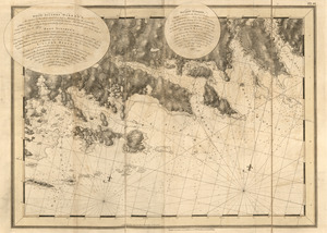
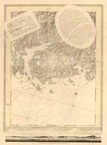
13251. White Haven
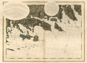
13252. White Haven

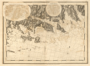
13253. White Haven
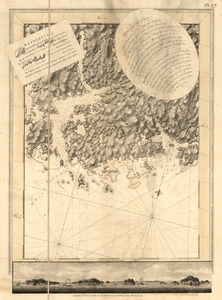
13254. White Haven