Toggle navigation
LMEC Home
Exhibitions
Georeferencing
Tools for Teachers
Collections
My Favorites
Sign Up / Log In
Search
Search the map portal
Map Collection
Map Collection
Map Sets
Search
Search
Search for
Search In
All Fields
Creator
Title
Subject
Place
Search All Digital Collections
Advanced Search
13385 Results
Filter your Search
Place
North and Central America
9,353
United States
7,078
Suffolk (county)
1,664
Boston
1,621
Europe
1,035
Canada
949
Massachusetts
794
New York
532
more
Place
»
Topic
Boston (Mass.)--Maps
741
City planning--Massachusetts--Boston--Maps
418
United States--History--Revolution, 1775-1783--Maps
329
United States--Maps
315
Urban renewal--Massachusetts--Boston--Maps
254
Real property--Massachusetts--Boston--Maps
252
Massachusetts--Maps
219
Insurance surveys
197
more
Topic
»
Date
Date range begin
–
Date range end
Current results range from
1482
to
2023
View distribution
Creator
United States. Hydrographic Office
595
Boston Redevelopment Authority
403
Des Barres, Joseph F. W. (Joseph Frederick Wallet), 1722-1824
247
Royal United Services Institute for Defence and Security Studies
160
Jefferys, Thomas, -1771
154
George, III, King of Great Britain, 1738-1820
152
George, IV, King of Great Britain, 1762-1830
151
O.H. Bailey & Co
148
more
Creator
»
Format
Maps/Atlases
13,205
Manuscripts
985
Prints
102
Books
49
Drawings/Illustrations
44
Photographs
15
Objects/Artifacts
13
Documents
7
more
Format
»
Georeferenced
Yes
979
No
12,406
Collection
Norman B. Leventhal Map Center Collection
8,891
American Revolutionary War-Era Maps
3,305
Boston and New England Maps
2,804
Urban Maps
2,397
Maritime Charts and Atlases
1,150
William L. Clements Library Collection
910
Library of Congress Collection
618
Boston Redevelopment Authority Collection
475
more
Collection
»
Available to use
No known restrictions
9,952
Creative Commons license
1,677
Search Constraints
Sort by relevance
relevance
title
date (asc)
date (desc)
Number of results to display per page
20 per page
10
per page
20
per page
50
per page
100
per page
View results as:
grid view
map view
Search Results
11021.
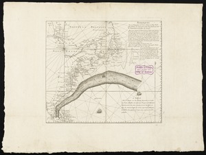
Remarques sur la navigation de terre-neuve à New-York afin d'eviter les courrants et les bas-fonds au sud de Nantuckett et du...
11022.
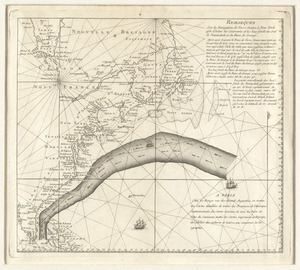
Remarques sur la navigation de terre-neuve à New-York afin d'eviter les courrants et les bas-fonds au sud de Nantuckett et du...
11023.
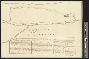
Report of the state of the town wall and citadel of Montreal the 4th June 1774
11024.
Report on improvements to the Boston main drainage system
11025.
Report on the alternate master highway plan for the Boston metropolitan area
11026.
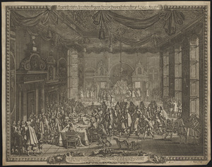
Repræsentatio accubitus regum Sueciæ Daniæ q: Fridericiburgi d. 3, 4 et 5 Mart. 1658
11027.
Repraesentatio praelij d. 30 Ianua an. 1658 ad Ifwersnaas commissi inquo Seren. rex Sueciae Carolvs Gvstavus postquam copias...
11028.
Repræsentatio scenographica Arcis Cronenburg auspiciis S.R. M. Sueciæ. ductu vero Exell. Dn. Com. C.G. Wrangelij reg. Sue....
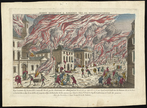
11029.
Représentation du feu terrible à Nouvelle Yorck, que les Américains ont allumé pendant la nuit du 19 Septembre 1776 ... et...
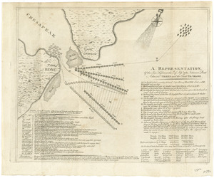
11030.
A representation, of the sea fight, on the 5th of Sepr. 1781, between Rear Admiral Graves and the Count de Grasse
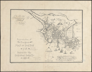
11031.
Reproduction of Burgiss' map of Boston, 1728 : printed for the Bostonian Society, 1885
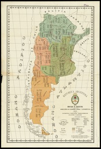
11032.
Republica Argentina : superficie, población, ferro-carriles, cultivos y ganados
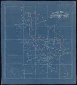
11033.
República Mexicana, Territorio de Tepic
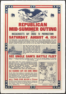
11034.
Republican mid-summer outing and Massachusetts Bay Cruise to Provincetown Saturday, August 4, 1934
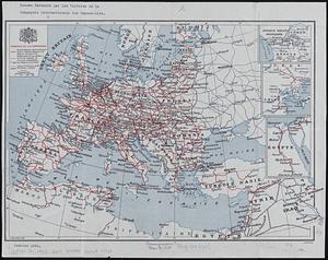
11035.
Reseau parcouru par les voitures de la Compagnie Internationale des Wagons-lits
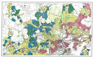
11036.
Residential security map of Boston, Mass.
11037.
Residential security map of Brockton, Mass.
11038.
Residential security map of Chicopee, Mass.
11039.
Residential security map of Darien, Conn.
11040.
Residential security map of East Hartford, Conn.
‹ Prev
Next ›
1
2
…
548
549
550
551
552
553
554
555
556
…
669
670