Toggle navigation
LMEC Home
Exhibitions
Georeferencing
Tools for Teachers
Collections
My Favorites
Sign Up / Log In
Search
Search the map portal
Map Collection
Map Collection
Map Sets
Search
Search
Search for
Search In
All Fields
Creator
Title
Subject
Place
Search All Digital Collections
Advanced Search
13385 Results
Filter your Search
Place
North and Central America
9,353
United States
7,286
Suffolk (county)
1,664
Boston
1,621
Europe
1,035
Canada
949
Massachusetts
806
New York
534
more
Place
»
Topic
Boston (Mass.)--Maps
741
City planning--Massachusetts--Boston--Maps
418
United States--History--Revolution, 1775-1783--Maps
329
United States--Maps
315
Urban renewal--Massachusetts--Boston--Maps
254
Real property--Massachusetts--Boston--Maps
252
Massachusetts--Maps
219
Insurance surveys
197
more
Topic
»
Date
Date range begin
–
Date range end
Current results range from
1482
to
2023
View distribution
Creator
United States. Hydrographic Office
595
Boston Redevelopment Authority
403
Des Barres, Joseph F. W. (Joseph Frederick Wallet), 1722-1824
247
Royal United Services Institute for Defence and Security Studies
160
Jefferys, Thomas, -1771
154
George, III, King of Great Britain, 1738-1820
152
George, IV, King of Great Britain, 1762-1830
151
O.H. Bailey & Co
148
more
Creator
»
Format
Maps/Atlases
13,205
Manuscripts
985
Prints
102
Books
49
Drawings/Illustrations
44
Photographs
15
Objects/Artifacts
13
Documents
7
more
Format
»
Georeferenced
Yes
979
No
12,406
Collection
Norman B. Leventhal Map Center Collection
8,891
American Revolutionary War-Era Maps
3,305
Boston and New England Maps
2,804
Urban Maps
2,397
Maritime Charts and Atlases
1,150
William L. Clements Library Collection
910
Library of Congress Collection
618
Boston Redevelopment Authority Collection
475
more
Collection
»
Available to use
No known restrictions
9,952
Creative Commons license
1,677
Search Constraints
Sort by date (asc)
relevance
title
date (asc)
date (desc)
Number of results to display per page
20 per page
10
per page
20
per page
50
per page
100
per page
View results as:
grid view
map view
Search Results
10821.
Map of British Columbia and part of western Canada, showing the lines and lands of the Canadian Pacific Railway
10822.
Map of Cambridge in the vicinity of Harvard College 1903-4
10823.
Map of Choctaw Nation, Indian Territory
10824.
Map of Manitoba
10825.
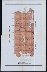
Map of Seminole Nation
10826.
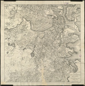
Map of the city of Boston and vicinity
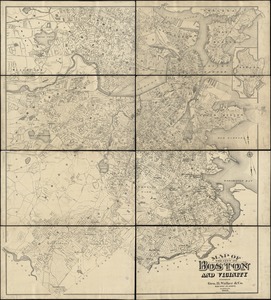
10827.
Map of the city of Boston and vicinity
10828.
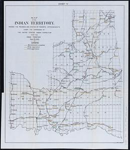
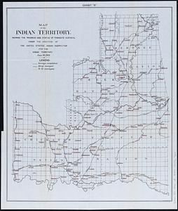
Map of the Indian Territory : showing the progress and status of townsite appraisements, under the supervision of the United...
10829.
Map of the Indian Territory : showing the progress and status of townsite surveys, under the direction of the United States...
10830.
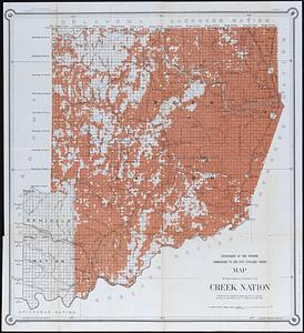
Map showing progress of allotment in Creek Nation
10831.
Mediterranean Sea, middle sheet
10832.
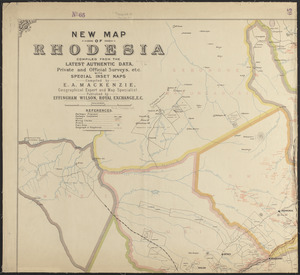
New map of Rhodesia : compiled from the latest authentic data, private and official surveys, etc. with special inset maps
10833.
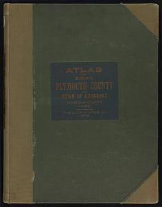
New topographical atlas of surveys Plymouth County, together with town of Cohasset, Norfolk County, Massachusetts
10834.
New topographical atlas of surveys Plymouth County, together with town of Cohasset, Norfolk County, Massachusetts ... based...
10835.
Nicaragua
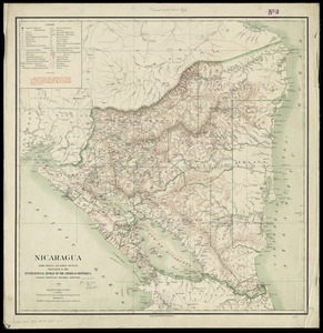
10836.
Nicaragua
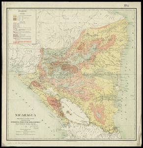
10837.
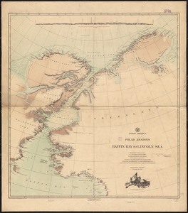
North America, polar regions, Baffin Bay to Lincoln Sea : showing the recent discoveries by civil engineer R.E. Peary, U.S.N.,...
10838.
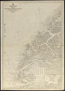
Norway, west coast : from Norwegian surveys, with corrections to 1886
10839.
Path map of the eastern part of Mount Desert Island, Maine
10840.
Peking
‹ Prev
Next ›
1
2
…
538
539
540
541
542
543
544
545
546
…
669
670