Toggle navigation
LMEC Home
Exhibitions
Georeferencing
Tools for Teachers
Collections
My Favorites
Sign Up / Log In
Search
Search the map portal
Map Collection
Map Collection
Map Sets
Search
Search
Search for
Search In
All Fields
Creator
Title
Subject
Place
Search All Digital Collections
Advanced Search
1084 Results
My Search
Start Over
Back Bay Boston
Remove constraint Back Bay Boston
Filter your Search
Place
North and Central America
833
United States
531
Massachusetts
238
Suffolk (county)
179
Boston
173
Canada
115
South America
62
Asia
61
more
Place
»
Topic
Boston (Mass.)--Maps
60
City planning--Massachusetts--Boston--Maps
48
Back Bay (Boston, Mass.)--Maps
47
North America--Maps--Early works to 1800
35
Landowners--Massachusetts--Boston--Maps
26
Real property--Massachusetts--Boston--Maps
26
New England--Maps--Early works to 1800
24
Nova Scotia--Maps--Early works to 1800
24
more
Topic
»
Date
Date range begin
–
Date range end
Current results range from
1565
to
2020
View distribution
Creator
United States. Hydrographic Office
277
Des Barres, Joseph F. W. (Joseph Frederick Wallet), 1722-1824
64
Boston Redevelopment Authority
36
Jefferys, Thomas, -1771
24
Sayer, Robert, 1725-1794
24
Franke, M. (Max)
23
U.S. Lake Survey
22
United States Exploring Expedition (1838-1842)
21
more
Creator
»
Format
Maps/Atlases
1,069
Manuscripts
69
Drawings/Illustrations
10
Objects/Artifacts
3
Prints
3
Books
1
Posters
1
Georeferenced
Yes
54
No
1,030
Collection
Norman B. Leventhal Map & Education Center Collection
945
Maritime Charts and Atlases
481
Boston and New England Maps
265
American Revolutionary War-Era Maps
231
Urban Maps
138
Boston Redevelopment Authority Collection
54
Mapping Boston Collection
40
Library of Congress Collection
35
more
Collection
»
Available to use
No known restrictions
946
Creative Commons license
112
Search Constraints
Sort by relevance
relevance
title
date (asc)
date (desc)
Number of results to display per page
20 per page
10
per page
20
per page
50
per page
100
per page
View results as:
grid view
map view
Search Results
1061.
Velveray Corporation, S. Robert Stone, Incorporated (Ten.), Consolidated Thread Co. of Mass., Inc. (Bldg.), Cranska Thread...
1062.
Spezielle reise- und gebirgs-karte vom Lande Tyrol mit den angrenzenden theilen von Süd Bayern, Salzburg, der Schweiz,...
1063.
A plan of the city and environs of New York in North America
1064.
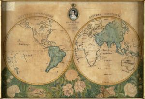
Map of the world
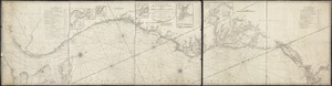
1065.
The world with all the modern discoveries
1066.
Frank W. Smith Co. (Silver Ware), Gardner, Mass. [insurance map]
1067.
Hathaway Manufacturing Co. (Bldg.), Modern Curtain Co., Inc. (Tenant), New Bedford, Mass. [insurance map]
1068.
Železnička i brodarska karta Kraljevine Srba Hrvata i Slovenaca = Carte des chemins de fer et de naviation du Royaume des...
1069.
Païs cedés, sheet Ist, containing the coast of Louisiana and Florida
1070.
Chart of the South Pacific Ocean, from the American Expg. Expedition, Admiralty and Depot de la Marine
1071.
Rand McNally official 1920 auto trails map : District number 6 : New England, eastern New York
1072.
A new and accurate chart (from Captain Holland's surveys) of the North American coast, for the navigation between Cape Cod in...
1073.
A correct map of the seat of war in Mexico : being a copy of Genl. Arista's map, taken at Resaca de la Palma, with additions...
1074.
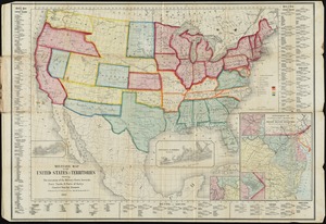
Military map of the United States & territories showing the location of the military posts, arsenals, Navy yards, & ports of...
1075.
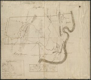
A plan of Hatfield
1076.
A map of the extremity of Cape Cod : including the townships of Provincetown & Truro: with chart of their sea coast and of Cape...
1077.
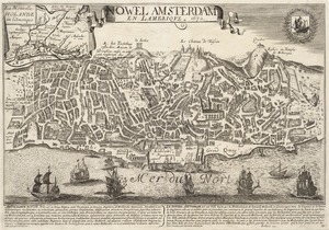
Nowel Amsterdam en Lamerique : 1672
1078.
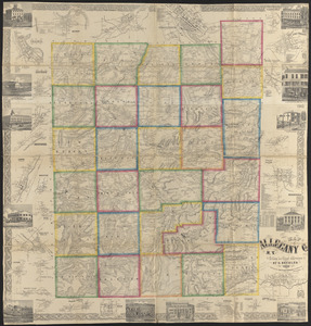
Map of Allegany Co., N.Y : from actual surveys
1079.
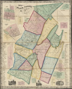
Map of Blair County, Pennsylvania : from special surveys
1080.
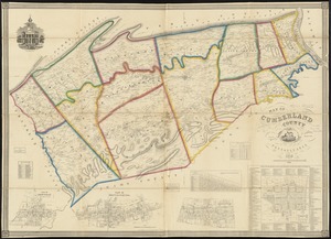
Map of Cumberland County, Pennsylvania : from actual surveys
‹ Prev
Next ›
1
2
…
50
51
52
53
54
55
![Velveray Corporation, S. Robert Stone, Incorporated (Ten.), Consolidated Thread Co. of Mass., Inc. (Bldg.), Cranska Thread Company (Ten.), Fall River, Mass. [insurance map]](https://bpldcassets.blob.core.windows.net/derivatives/images/commonwealth:ww72bx38x/image_thumbnail_300.jpg)


![Frank W. Smith Co. (Silver Ware), Gardner, Mass. [insurance map]](https://bpldcassets.blob.core.windows.net/derivatives/images/commonwealth:ww72bx96t/image_thumbnail_300.jpg)
![Hathaway Manufacturing Co. (Bldg.), Modern Curtain Co., Inc. (Tenant), New Bedford, Mass. [insurance map]](https://bpldcassets.blob.core.windows.net/derivatives/images/commonwealth:ww72bz46t/image_thumbnail_300.jpg)