Toggle navigation
LMEC Home
Exhibitions
Georeferencing
Tools for Teachers
Collections
My Favorites
Sign Up / Log In
Search
Search the map portal
Map Collection
Map Collection
Map Sets
Search
Search
Search for
Search In
All Fields
Creator
Title
Subject
Place
Search All Digital Collections
Advanced Search
240 Results
My Search
Start Over
1870
Remove constraint 1870
Filter your Search
Place
North and Central America
133
United States
115
Europe
85
Massachusetts
60
Boston
39
Germany
39
Suffolk (county)
39
France
34
more
Place
»
Topic
Franco-Prussian War, 1870-1871--Maps
33
Germany--Maps
25
Boston (Mass.)--Maps
21
Europe--Maps
17
France--Maps
17
Real property--Massachusetts--Boston--Maps
11
Land tenure--Massachusetts--Boston--Maps
8
Franco-Prussian War, 1870-1871--Aerial views
7
more
Topic
»
Date
Date range begin
–
Date range end
Current results range from
1783
to
1952
View distribution
Creator
Beers, F. W. (Frederick W.)
13
United States. Hydrographic Office
13
Hellfarth, C.
9
Justus Perthes (Firm : Gotha, Germany)
9
Petermann, A. (August), 1822-1878
8
Shurcliff, Arthur A. (Arthur Asahel), 1870-1957
8
G.W. Bacon & Co.
7
Anderson, Alexander, 1775-1870
6
more
Creator
»
Format
Maps/Atlases
236
Books
3
Manuscripts
3
Prints
2
Documents
1
Objects/Artifacts
1
Georeferenced
Yes
19
No
221
Collection
Norman B. Leventhal Map & Education Center Collection
225
Urban Maps
68
Boston and New England Maps
59
Maritime Charts and Atlases
21
American Revolutionary War-Era Maps
8
American Antiquarian Society Collection
5
Mapping Boston Collection
4
Massachusetts Real Estate Atlases
3
more
Collection
»
Available to use
No known restrictions
222
Creative Commons license
5
Search Constraints
Sort by relevance
relevance
title
date (asc)
date (desc)
Number of results to display per page
20 per page
10
per page
20
per page
50
per page
100
per page
View results as:
grid view
map view
Search Results
81.
An Accurate map of the United States of America. : According to the Treaty of Peace of 1783
82.
Map of the harbor of St. Louis, Mississippi River, Oct. 1837
83.
Nankin
84.
7th map to accompany Willards History of the United States
85.
North Carolina form the best authorities. 1800
86.
The State of Virginia form the best authorities. 1799
87.
Willimantic, Conn., 1882 : from Blake Mountain
88.
Bird's-eye view of Boston, showing the burned district
89.
Health districts of the city of Boston
90.
The state of Massachusetts from the best information
91.
Mittel-America und Westindien
92.
Map of the existing and proposed circumferential thoroughfares of the district
93.
Map of the existing and proposed radial thoroughfares of the district and their connections
94.
Storrow Memorial Embankment : plan of additions and changes under the requirements of Chapter 262, Acts of 1949
95.
Insurance map of Boston : volume 2
96.
Karte von Elsass und Lothringen mit angabe der sprachgrenzen
97.
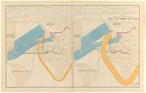
Carte figurative et approximative des quantités de coton en laine importées en Europe en 1858 et en 1861
98.
Franklin Park general plan for zoological garden
99.
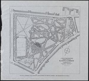
General plan for Boston Common
100.
General plan for Columbus Park, Strandway, South Boston
‹ Prev
Next ›
1
2
3
4
5
6
7
8
9
…
11
12