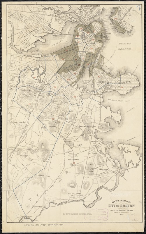
Health districts of the city of Boston
Item Information
- Title:
- Health districts of the city of Boston
- Creator:
- Massachusetts. State Board of Health
- Name on Item:
-
arranged by the State Board of Health to show the mortality in 1870.
- Date:
-
[1870]
- Format:
-
Maps/Atlases
- Location:
-
Boston Public Library
Norman B. Leventhal Map & Education Center - Collection (local):
-
Norman B. Leventhal Map & Education Center Collection
- Subjects:
-
Public health--Massachusetts--Boston--Maps
Mortality--Massachusetts--Boston--Maps
Boston (Mass.)--Maps
- Places:
-
MassachusettsSuffolk (county)Boston
- Extent:
- 1 map : col. ; 52 x 32 cm.
- Terms of Use:
-
No known copyright restrictions.
No known restrictions on use.
- Publisher:
-
Boston, Mass :
s.n.
- Scale:
-
Scale not given.
- Language:
-
English
- Notes:
-
Relief shown by hachures.
Distance from City Hall measured radially.
- Notes (date):
-
This date is inferred.
- Identifier:
-
06_01_003488
- Call #:
-
G3764.B6 1870 .M36
- Barcode:
-
39999059001360


