Toggle navigation
LMEC Home
Exhibitions
Georeferencing
Tools for Teachers
Collections
My Favorites
Sign Up / Log In
Search
Search the map portal
Map Collection
Map Collection
Map Sets
Search
Search
Search for
Search In
All Fields
Creator
Title
Subject
Place
Search All Digital Collections
Advanced Search
3816 Results
My Search
Start Over
Date
1750
to
1799
Remove constraint Date: <span class='from'>1750</span> to <span class='to'>1799</span>
Filter your Search
Place
North and Central America
3,079
United States
2,090
Canada
574
Massachusetts
347
New York
329
North America
196
Suffolk (county)
189
Maine
187
more
Place
»
Topic
United States--History--Revolution, 1775-1783--Maps
323
United States--History--French and Indian War, 1754-1763--Maps
161
North America--Maps--Early works to 1800
120
Manuscript maps--Early works to 1800
111
Coasts--Nova Scotia--Maps
62
Saint Lawrence River--Maps
62
United States--History--French and Indian War, 1754-1763--Maps, Manuscript--Early works to 1800
58
United States--Maps--Early works to 1800
55
more
Topic
»
Date
1750
to
1799
[remove]
3,816
Date range begin
–
Date range end
Current results range from
1699
to
1990
1750
to
1754
168
1755
to
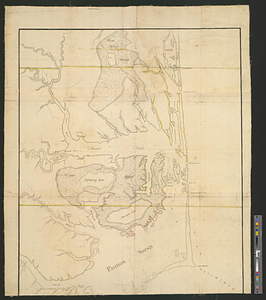
1759
441
1760
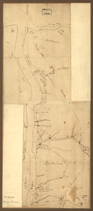
to
1764
410
1765
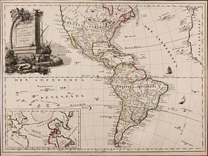
to
1769
276
1770
to
1774
309
1775
to
1779
1,076
1780
to
1784
594
1785
to
1789
180
1790
to
1794
420
1795
to
1799
525
Creator
Des Barres, Joseph F. W. (Joseph Frederick Wallet), 1722-1824
245
Jefferys, Thomas, -1771
152
Royal United Services Institute for Defence and Security Studies
147
Amherst, Jeffery Amherst, Baron, 1717-1797
122
George, III, King of Great Britain, 1738-1820
113
George, IV, King of Great Britain, 1762-1830
113
Sayer, Robert, 1725-1794
107
Faden, William, 1749-1836
106
more
Creator
»
Format
Maps/Atlases
3,731
Manuscripts
692
Prints
38
Drawings/Illustrations
31
Books
9
Documents
5
Objects/Artifacts
3
Ephemera
1
Georeferenced
Yes
97
No
3,719
Collection
American Revolutionary War-Era Maps
3,106
Norman B. Leventhal Map Center Collection
890
William L. Clements Library Collection
871
Library of Congress Collection
605
Town plans, 1794
403
British Library Collection
308
Richard H. Brown Revolutionary War Map Collection at Mount Vernon
287
Maritime Charts and Atlases
255
more
Collection
»
Available to use
Creative Commons license
1,404
No known restrictions
1,290
Search Constraints
Sort by relevance
relevance
title
date (asc)
date (desc)
Number of results to display per page
20 per page
10
per page
20
per page
50
per page
100
per page
View results as:
grid view
map view
Search Results
81.
Action between Genl. St Clairs army & that of the American Indians Novr. 4th 1791 : collected from his public letter
82.
An actual survey of the sea coast from New York to the I. Cape Briton : with tables of the direct and thwart courses &...
83.
Acurate charte von Nord-America : aus dem besten quellen
84.
Admiral George Clinton's lands in the "Oblong"
85.
Affair at Quintin's Bridge : 18th March 1778
86.
Affaire de Monmouth ce 28me Juin 1778
87.
Afrika
88.
L'Afrique : dressée sur les relations e nouvelles decouvertes de differens voyageurs, conformes aux observations astronomiques
89.
Afrique
90.
L'Afrique : dressée, sur les relations les plus recentes, et assujettie aux observations astronomiques
91.
L'Afrique divisée en ses principaux états
92.
Albemarle and Pamlico Sounds
93.
Algemeene Kaart van de Colonie of Provintie van Suriname, met de rivieren, districten, ontdekkingen door Militaire Togten, en...
94.
Algemeene Kaart van de Colonie of Provintie van Suriname, met de rivieren, districten, ontdekkingen door Militaire Togten, en...
95.
Allegheny River and French Creek
96.
Allgemeine charte von Nord America als den sitz des krieges zwischen den Konigl. Engl. truppen u:den provinzialen
97.
Amboy to Elizabethtown
98.
Ambuscade of the Indians at Kingsbridge : August 31st. 1778
99.
America
100.
America, engraved according to recent geographical observations
‹ Prev
Next ›
1
2
3
4
5
6
7
8
9
…
190
191