Toggle navigation
LMEC Home
Exhibitions
Georeferencing
Tools for Teachers
Collections
My Favorites
Sign Up / Log In
Search
Search the map portal
Map Collection
Map Collection
Map Sets
Search
Search
Search for
Search In
All Fields
Creator
Title
Subject
Place
Search All Digital Collections
Advanced Search
13385 Results
Filter your Search
Place
North and Central America
10,111
United States
8,249
Massachusetts
2,691
Suffolk (county)
1,664
Boston
1,621
Europe
1,386
Canada
949
New York
640
more
Place
»
Topic
Boston (Mass.)--Maps
741
City planning--Massachusetts--Boston--Maps
418
United States--History--Revolution, 1775-1783--Maps
329
United States--Maps
315
Urban renewal--Massachusetts--Boston--Maps
254
Real property--Massachusetts--Boston--Maps
252
Massachusetts--Maps
219
Insurance surveys
197
more
Topic
»
Date
Date range begin
–
Date range end
Current results range from
1482
to
2023
View distribution
Creator
United States. Hydrographic Office
595
Boston Redevelopment Authority
403
Des Barres, Joseph F. W. (Joseph Frederick Wallet), 1722-1824
247
Royal United Services Institute for Defence and Security Studies
160
Jefferys, Thomas, -1771
154
George, III, King of Great Britain, 1738-1820
152
George, IV, King of Great Britain, 1762-1830
151
O.H. Bailey & Co
148
more
Creator
»
Format
Maps/Atlases
13,205
Manuscripts
985
Prints
102
Books
49
Drawings/Illustrations
44
Photographs
15
Objects/Artifacts
13
Documents
7
more
Format
»
Georeferenced
Yes
979
No
12,406
Collection
Norman B. Leventhal Map & Education Center Collection
8,891
American Revolutionary War-Era Maps
3,305
Boston and New England Maps
2,804
Urban Maps
2,397
Maritime Charts and Atlases
1,150
William L. Clements Library Collection
910
Library of Congress Collection
618
Boston Redevelopment Authority Collection
475
more
Collection
»
Available to use
No known restrictions
9,952
Creative Commons license
1,677
Search Constraints
Sort by relevance
relevance
title
date (asc)
date (desc)
Number of results to display per page
20 per page
10
per page
20
per page
50
per page
100
per page
View results as:
grid view
map view
Search Results
9961.
A PLAN of the Rivers and Boundary Lines referr'd to in ye Proceedings & Judgment of ye Commissioners for adjusting the Bounds...
9962.
A plan of the rivers Scoodic and Magaguadavic with their principal branches including the Bay of Passamaquoddy and the adjacent...
9963.
Plan of the road and river between Niagara and fort Schlosser with the different posts erected on the communication, by order...
9964.
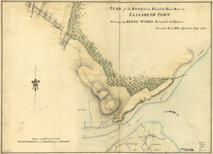
Plan of the road from Elizabeth Town Point to Elizabeth Town : shewing the rebel works raised for its defence
9965.
A Plan of the Road, Harbour and Town of Placentia in the Island of Newfoundland From an Actual Survey shewing the Situation of...
9966.
Plan of the roads between Boston and Albany : survey'd by order of the governor in pursuance of a resolution of the General...
9967.
A Plan of the Rosalij Compy. Estates : the property of His Excelly. Charles O'Harra, the Honble. Leiut. Gov. Will. Stuart,...
9968.
A plan of the Rosalij Compy. Estates showing the impracticable lands
9969.
Plan of the route from St. Francis to Connecticut River
9970.
Plan of the route of pipes from Jamaica Pond, in Roxbury to the reservoir, in Boston
9971.
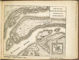
A plan of the Royal Block House, with the environs at Fort Edward
9972.
A plan of the salt marsh and upland in Roxbury, lying the east side of the Mill Creek
9973.
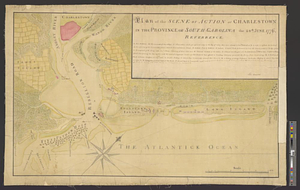
Plan of the scene of action at Charlestown in the province of South Carolina the 28th June 1776
9974.
A plan of the sea coast from Boston Bay to the light house near Rhode Island : reduced from the large survey
9975.
A PLAN of the SEA COAST from CAPE ELIZABETH to the ENTRANCE of SAGADAHOCK or KENNEBECK RIVER Including Casco Bay with all it's...
9976.
A plan of the sea coast from Gage Point to Cumberland Cape including Dartmouth and Granby Bays with the coal mines in that...
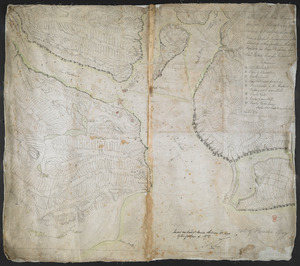
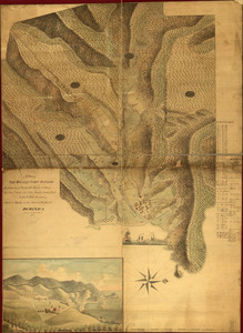
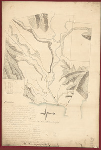
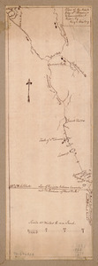
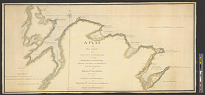
9977.
Plan of the seige [sic] of Charlestown in South Carolina
9978.
A plan of the seigniory of Sorrell in the province of Quebec the property of Messr Greenswood & Higginson, merchants in London
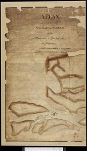
9979.
A plan of the settled part of Canada reduced from the large survey made in the years 1760 & 1761 by order of General Murray...
9980.
Plan of the Settlement on the Bay of Quinte
‹ Prev
Next ›
1
2
…
495
496
497
498
499
500
501
502
503
…
669
670


![Plan of the seige [sic] of Charlestown in South Carolina](https://bpldcassets.blob.core.windows.net/derivatives/metadata/commonwealth-oai:rb692949z/image_thumbnail_300.jpg)