Toggle navigation
LMEC Home
Exhibitions
Georeferencing
Tools for Teachers
Collections
My Favorites
Sign Up / Log In
Search
Search the map portal
Map Collection
Map Collection
Map Sets
Search
Search
Search for
Search In
All Fields
Creator
Title
Subject
Place
Search All Digital Collections
Advanced Search
14021 Results
Filter your Search
Place
North and Central America
10,683
United States
8,692
Massachusetts
2,808
Suffolk (county)
1,682
Boston
1,638
Europe
1,420
Canada
1,009
New York
674
more
Place
»
Topic
Boston (Mass.)--Maps
748
City planning--Massachusetts--Boston--Maps
418
United States--History--Revolution, 1775-1783--Maps
331
United States--Maps
328
Real property--Massachusetts--Boston--Maps
254
Urban renewal--Massachusetts--Boston--Maps
254
North America--Maps--Early works to 1800
240
Massachusetts--Maps
234
more
Topic
»
Date
Date range begin
–
Date range end
Current results range from
1482
to
2023
View distribution
Creator
United States. Hydrographic Office
597
Boston Redevelopment Authority
404
Des Barres, Joseph F. W. (Joseph Frederick Wallet), 1722-1824
247
Jefferys, Thomas, -1771
172
Royal United Services Institute for Defence and Security Studies
160
George, III, King of Great Britain, 1738-1820
152
George, IV, King of Great Britain, 1762-1830
151
O.H. Bailey & Co
148
more
Creator
»
Format
Maps/Atlases
13,839
Manuscripts
985
Prints
102
Books
49
Drawings/Illustrations
44
Photographs
15
Objects/Artifacts
13
Documents
7
more
Format
»
Georeferenced
Yes
979
No
13,042
Collection
Norman B. Leventhal Map & Education Center Collection
9,110
American Revolutionary War-Era Maps
3,627
Boston and New England Maps
2,921
Urban Maps
2,480
Maritime Charts and Atlases
1,169
William L. Clements Library Collection
910
Library of Congress Collection
618
Boston Redevelopment Authority Collection
475
more
Collection
»
Available to use
No known restrictions
10,268
Creative Commons license
1,678
Search Constraints
Sort by relevance
relevance
title
date (asc)
date (desc)
Number of results to display per page
20 per page
10
per page
20
per page
50
per page
100
per page
View results as:
grid view
map view
Search Results
941.
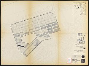
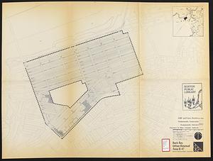
Back Bay urban renewal area r-47 : building conditions
942.
Back Bay urban renewal area r-47 : community facilities & circulation plan
943.
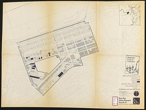
Back Bay urban renewal area r-47 : land use plan
944.
Back Bay urban renewal area r-47 : existing circulation
945.
Back Bay urban renewal area r-47 : proposed land use
946.
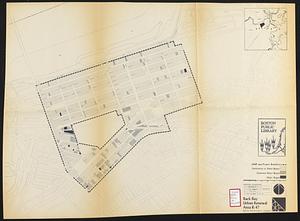
Back Bay urban renewal area r-47 : existing land use
947.
Back Bay urban renewal area r-47 : building conditions
948.
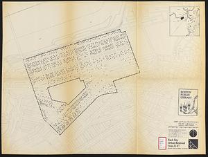
Back Bay urban renewal area r-47 : existing population density
949.
Back Bay urban renewal area r-47 : proposed treatment and title 1 projects
950.
Back Bay urban renewal area r-47 : existing and proposed community facilities
951.
Back Bay view of the world
952.
Back Bay zoning district map
953.
Bacon's bird's eye view of South Africa
954.
Bacon's large scale seat of war - Metz to the Rhine
955.
Bacon's large scale shilling map of seat of war from Paris to Berlin, and the Baltic
956.
Bacon's large scale war map : Paris to the Rhine
957.
Bacon's map of Central Europe
958.
Bacon's map of Europe
959.
Bacon's map of Europe
960.
Bacon's map of Europe
‹ Prev
Next ›
1
2
…
44
45
46
47
48
49
50
51
52
…
701
702