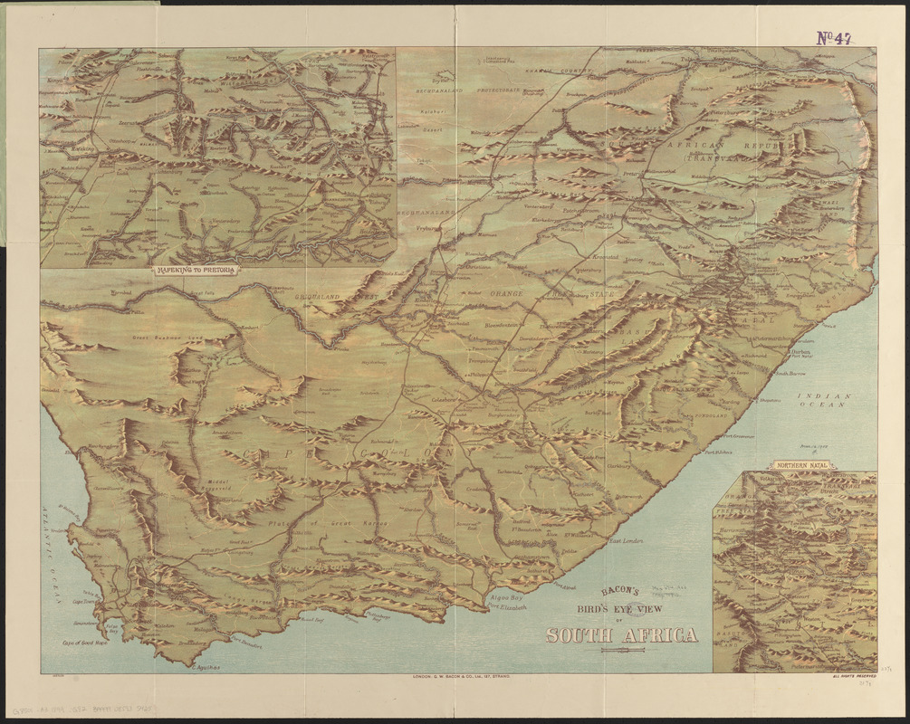
Bacon's bird's eye view of South Africa
Item Information
- Title:
- Bacon's bird's eye view of South Africa
- Title (alt.):
-
Bird's eye view of South Africa
Bacon's bird's eye view of South Africa with inset views of Natal and Mafeking district
- Cartographer:
- G.W. Bacon & Co.
- Publisher:
- G.W. Bacon & Co.
- Date:
-
[1899]
- Format:
-
Maps/Atlases
- Location:
-
Boston Public Library
Norman B. Leventhal Map & Education Center - Collection (local):
-
Norman B. Leventhal Map & Education Center Collection
- Subjects:
-
South African War, 1899-1902
South Africa--Aerial views
- Places:
-
South Africa
- Extent:
- 1 map : color ; 61 x 81 cm, folded in cover 24 x 16 cm
- Terms of Use:
-
No known copyright restrictions.
No known restrictions on use.
- Publisher:
-
London :
G.W. Bacon & Co.
- Scale:
-
Not drawn to scale
- Language:
-
English
- Notes:
-
Relief shown pictorially.
Insets: Mafeking to Pretoria -- Northern Natal.
Text titled "The South Africa crisis" attached inside front cover (5 pages).
In lower left: 1057530.
"No. 8]"--Cover.
- Notes (date):
-
This date is inferred.
- Identifier:
-
06_01_015373
- Call #:
-
G8501.A3 1899 .G82
- Barcode:
-
39999085935425


