Toggle navigation
LMEC Home
Exhibitions
Georeferencing
Tools for Teachers
Collections
My Favorites
Sign Up / Log In
Search
Search the map portal
Map Collection
Map Collection
Map Sets
Search
Search
Search for
Search In
All Fields
Creator
Title
Subject
Place
Search All Digital Collections
Advanced Search
13385 Results
Filter your Search
Place
North and Central America
9,353
United States
7,078
Suffolk (county)
1,664
Boston
1,621
Europe
1,035
Canada
949
Massachusetts
794
New York
532
more
Place
»
Topic
Boston (Mass.)--Maps
741
City planning--Massachusetts--Boston--Maps
418
United States--History--Revolution, 1775-1783--Maps
329
United States--Maps
315
Urban renewal--Massachusetts--Boston--Maps
254
Real property--Massachusetts--Boston--Maps
252
Massachusetts--Maps
219
Insurance surveys
197
more
Topic
»
Date
Date range begin
–
Date range end
Current results range from
1482
to
2023
View distribution
Creator
United States. Hydrographic Office
595
Boston Redevelopment Authority
403
Des Barres, Joseph F. W. (Joseph Frederick Wallet), 1722-1824
247
Royal United Services Institute for Defence and Security Studies
160
Jefferys, Thomas, -1771
154
George, III, King of Great Britain, 1738-1820
152
George, IV, King of Great Britain, 1762-1830
151
O.H. Bailey & Co
148
more
Creator
»
Format
Maps/Atlases
13,205
Manuscripts
985
Prints
102
Books
49
Drawings/Illustrations
44
Photographs
15
Objects/Artifacts
13
Documents
7
more
Format
»
Georeferenced
Yes
979
No
12,406
Collection
Norman B. Leventhal Map Center Collection
8,891
American Revolutionary War-Era Maps
3,305
Boston and New England Maps
2,804
Urban Maps
2,397
Maritime Charts and Atlases
1,150
William L. Clements Library Collection
910
Library of Congress Collection
618
Boston Redevelopment Authority Collection
475
more
Collection
»
Available to use
No known restrictions
9,952
Creative Commons license
1,677
Search Constraints
Sort by date (desc)
relevance
title
date (asc)
date (desc)
Number of results to display per page
20 per page
10
per page
20
per page
50
per page
100
per page
View results as:
grid view
map view
Search Results
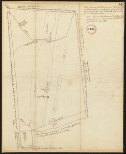
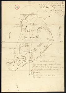
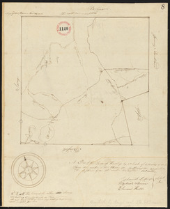
8621.
Plan of Wilbraham, surveyor's name not given, dated May 29, 1795.
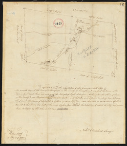
8622.
Plan of Williamsburg surveyed by Nehemiah Cleveland, dated May 5, 1795.
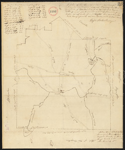
8623.
Plan of Winchendon surveyed by Moses Hale, dated May, 1795.
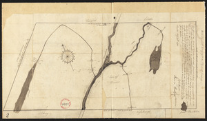
8624.
Plan of Winslow, surveyor's name not given, dated May 24, 1795.
8625.
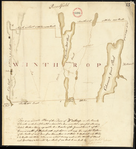
Plan of Winthrop (Pondtown) surveyed by Ephraim Ballard and Sylvester Moore, dated April, 1795.
8626.
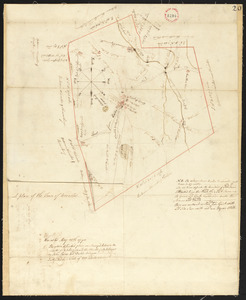
Plan of Worcester surveyed by David Andrews and John Peirce, dated April, 1795.
8627.
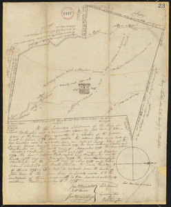
Plan of Worthington, surveyor's name not given, dated May 15, 1795.
8628.
Plan of Wrentham surveyed by Cornelius Kollock, dated January 1795.
8629.
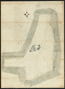
Plan of Yarmouth, surveyor's name not given, dated May 27, 1795.
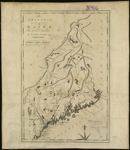
8630.
The province of Maine, from the best authorities
8631.
Southwest coast of St. Vincent
8632.
The state of Massachusetts
8633.
The State of Pennsylvania
8634.
To the select-men of the town of Boston, in the Commonwealth of Massachusetts; ever distinguished for their zeal for the good...
8635.
Two plans of Hawley, surveyor's name not given, dated May, 1795.
8636.
Two plans of Hawley, surveyor's name not given, dated May, 1795.
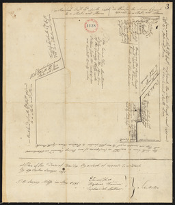
8637.
Worcester, May 28, 1795. : The above plan was surveyed between the months of October, 1794 and the month of April, 1795
8638.
Map of the middle states of America : comprehends New-York, New-Jersey, Pennsylvania, Delaware, and the territory N:W: of Ohio
8639.
Map of the middle states of America : comprehends New-York, New-Jersey, Pennsylvania, Delaware, and the territory N:W: of Ohio
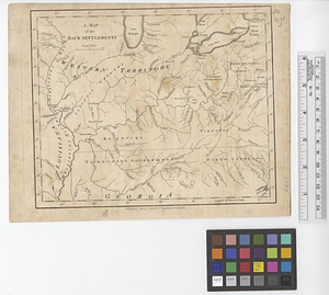
8640.
A map of the back settlements
‹ Prev
Next ›
1
2
…
428
429
430
431
432
433
434
435
436
…
669
670