Toggle navigation
LMEC Home
Exhibitions
Georeferencing
Tools for Teachers
Collections
My Favorites
Sign Up / Log In
Search
Search the map portal
Map Collection
Map Collection
Map Sets
Search
Search
Search for
Search In
All Fields
Creator
Title
Subject
Place
Search All Digital Collections
Advanced Search
13680 Results
My Search
Start Over
Date facet yearly ssim
1685
to
1689
Remove constraint Date facet yearly ssim: <span class='from'>1685</span> to <span class='to'>1689</span>
Filter your Search
Place
North and Central America
10,344
United States
8,475
Massachusetts
2,789
Suffolk (county)
1,677
Boston
1,633
Europe
1,415
Canada
950
New York
649
more
Place
»
Topic
Boston (Mass.)--Maps
747
City planning--Massachusetts--Boston--Maps
418
United States--History--Revolution, 1775-1783--Maps
329
United States--Maps
322
Real property--Massachusetts--Boston--Maps
254
Urban renewal--Massachusetts--Boston--Maps
254
Massachusetts--Maps
231
Insurance surveys
197
more
Topic
»
Date
Date range begin
–
Date range end
Current results range from
1482
to
2023
View distribution
Creator
United States. Hydrographic Office
597
Boston Redevelopment Authority
404
Des Barres, Joseph F. W. (Joseph Frederick Wallet), 1722-1824
247
Royal United Services Institute for Defence and Security Studies
160
Jefferys, Thomas, -1771
154
George, III, King of Great Britain, 1738-1820
152
George, IV, King of Great Britain, 1762-1830
151
O.H. Bailey & Co
148
more
Creator
»
Format
Maps/Atlases
13,499
Manuscripts
985
Prints
102
Books
49
Drawings/Illustrations
44
Photographs
15
Objects/Artifacts
13
Documents
7
more
Format
»
Georeferenced
Yes
979
No
12,701
Collection
Norman B. Leventhal Map & Education Center Collection
9,096
American Revolutionary War-Era Maps
3,305
Boston and New England Maps
2,915
Urban Maps
2,471
Maritime Charts and Atlases
1,169
William L. Clements Library Collection
910
Library of Congress Collection
618
Boston Redevelopment Authority Collection
475
more
Collection
»
Available to use
No known restrictions
10,246
Creative Commons license
1,678
Search Constraints
Sort by relevance
relevance
title
date (asc)
date (desc)
Number of results to display per page
20 per page
10
per page
20
per page
50
per page
100
per page
View results as:
grid view
map view
Search Results
8381.
Pigeon Cove, Rockport, Essex County, Mass
8382.
The Pilgrim® map Cape Cod, Martha's Vineyard and Nantucket
8383.
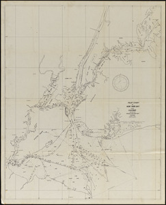
Pilot chart of New York Bay and Harbor for use with Krause's New York pilot courses
8384.
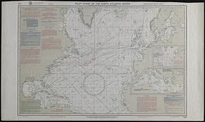
Pilot chart of the North Atlantic Ocean
8385.
Pilot chart of the South Pacific
8386.
Pittsburgh district
8387.
Pittsfield
8388.
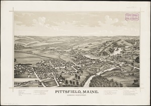
Pittsfield, Maine : looking northwest
8389.
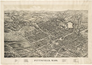
Pittsfield, Mass
8390.
Pittsfield, Merrimackcounty [sic], N.H : 1884
8391.
Pittsfield, Merrimackcounty [sic], N.H : 1884
8392.
Plainville, Mass : 1887
8393.
A plan & profile of the Boston & Lowell Railroad
8394.
A plan & section of a survey taken April 20, 1801 on a new prepared course for the Middlesex Canal, from the south end of...
8395.
A PLAN & SURVEY of the Town and Harbour of LOUISBOURG : the harbour by Cap Darell & the Town & Batteries by Cap Bastide Engineer
8396.
Plan 1
8397.
Plan accompanying the proposal made to the City of Boston by the Commissioners on Boston Harbor and the Back Bay Octr. 20, 1854...
8398.
Plan af Stockholm
8399.
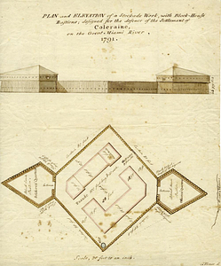
Plan and elevation of a stockade work, with block-house bastions; designed for the defence of the settlement of Coleraine, on...
8400.
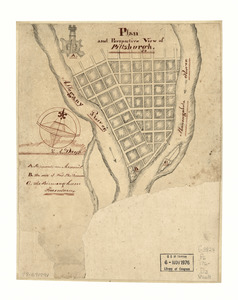
Plan and perspective view of Pittsburgh
‹ Prev
Next ›
1
2
…
416
417
418
419
420
421
422
423
424
…
683
684


![Pittsfield, Merrimackcounty [sic], N.H](https://bpldcassets.blob.core.windows.net/derivatives/images/commonwealth:3f463513v/image_thumbnail_300.jpg)
![Pittsfield, Merrimackcounty [sic], N.H](https://bpldcassets.blob.core.windows.net/derivatives/images/commonwealth:x633fd276/image_thumbnail_300.jpg)