Toggle navigation
LMEC Home
Exhibitions
Georeferencing
Tools for Teachers
Collections
My Favorites
Sign Up / Log In
Search
Search the map portal
Map Collection
Map Collection
Map Sets
Search
Search
Search for
Search In
All Fields
Creator
Title
Subject
Place
Search All Digital Collections
Advanced Search
13680 Results
My Search
Start Over
Date facet yearly ssim
2000
to
2019
Remove constraint Date facet yearly ssim: <span class='from'>2000</span> to <span class='to'>2019</span>
Filter your Search
Place
North and Central America
10,344
United States
8,475
Massachusetts
2,789
Suffolk (county)
1,677
Boston
1,633
Europe
1,415
Canada
950
New York
649
more
Place
»
Topic
Boston (Mass.)--Maps
747
City planning--Massachusetts--Boston--Maps
418
United States--History--Revolution, 1775-1783--Maps
329
United States--Maps
322
Real property--Massachusetts--Boston--Maps
254
Urban renewal--Massachusetts--Boston--Maps
254
Massachusetts--Maps
231
Insurance surveys
197
more
Topic
»
Date
Date range begin
–
Date range end
Current results range from
1482
to
2023
View distribution
Creator
United States. Hydrographic Office
597
Boston Redevelopment Authority
404
Des Barres, Joseph F. W. (Joseph Frederick Wallet), 1722-1824
247
Royal United Services Institute for Defence and Security Studies
160
Jefferys, Thomas, -1771
154
George, III, King of Great Britain, 1738-1820
152
George, IV, King of Great Britain, 1762-1830
151
O.H. Bailey & Co
148
more
Creator
»
Format
Maps/Atlases
13,499
Manuscripts
985
Prints
102
Books
49
Drawings/Illustrations
44
Photographs
15
Objects/Artifacts
13
Documents
7
more
Format
»
Georeferenced
Yes
979
No
12,701
Collection
Norman B. Leventhal Map & Education Center Collection
9,096
American Revolutionary War-Era Maps
3,305
Boston and New England Maps
2,915
Urban Maps
2,471
Maritime Charts and Atlases
1,169
William L. Clements Library Collection
910
Library of Congress Collection
618
Boston Redevelopment Authority Collection
475
more
Collection
»
Available to use
No known restrictions
10,246
Creative Commons license
1,678
Search Constraints
Sort by relevance
relevance
title
date (asc)
date (desc)
Number of results to display per page
20 per page
10
per page
20
per page
50
per page
100
per page
View results as:
grid view
map view
Search Results
8121.
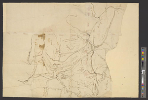
Part of the counties of Charlotte and Albany, in the province of New York; being the seat of war between the king's forces...
8122.
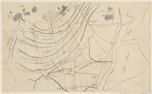
PART OF THE HARBOUR of ST IOHNS
8123.
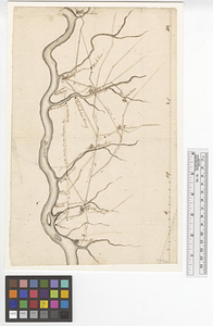
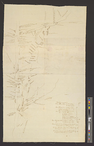
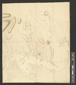
[Part of the Island of Orleans and the Saint Lawrence River]
8124.
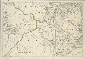
Part of the metropolitan district
8125.
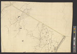
Part of the modern counties of Bergen, Passaic, and Sussex, New Jersey
8126.
Part of the modern counties of Burlington and Camden, New Jersey
8127.
Part of the modern counties of Currituck, Camden, and Pasquotank, North Carolina
8128.
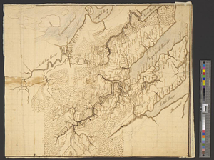
Part of the modern counties of Dutchess, Putnam, and Westchester
8129.
Part of the modern counties of Essex and Hudson, New Jersey
8130.
Part of the modern counties of Hudson and Bergen, New Jersey
8131.
Part of the modern counties of Litchfield and Fairfield, Connecticut, and Westchester and Putnam, New York
8132.
Part of the modern counties of Manhattan, Westchester and Queens
8133.
Part of the modern counties of Monmouth, Middlesex, Somerset, Hunterdon, Mercer, Burlington, and Ocean in New Jersey and...
8134.
Part of the modern counties of Oconee, Pickens, Anderson, and Greenville
8135.
Part of the modern counties of Philadelphia, Bucks, Chester, Montgomery, Lehigh, Northampton, Lancaster, and Lebanon
8136.
Part of the modern counties of Philadelphia, Bucks, Montgomery, Delaware, Chester, and Lancaster in Pennsylvania; New Castle in...
8137.
Part of the modern counties of Princess Anne, Norfolk, and Nansemond, Virginia
8138.
Part of the modern counties of Union and Middlesex, New Jersey
8139.
Part of the modern counties of Union, Middlesex, and Somerset, New Jersey and Staten Island, New York
8140.
Part of the modern counties of Union, Middlesex, and Somerset, New Jersey and Staten Island, New York
‹ Prev
Next ›
1
2
…
403
404
405
406
407
408
409
410
411
…
683
684

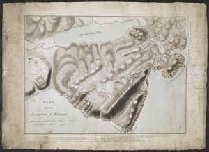
![[Part of the Island of Orleans and the Saint Lawrence River]](https://bpldcassets.blob.core.windows.net/derivatives/images/commonwealth:hx11z067t/image_thumbnail_300.jpg)