Toggle navigation
LMEC Home
Exhibitions
Georeferencing
Tools for Teachers
Collections
My Favorites
Sign Up / Log In
Search
Search the map portal
Map Collection
Map Collection
Map Sets
Search
Search
Search for
Search In
All Fields
Creator
Title
Subject
Place
Search All Digital Collections
Advanced Search
2893 Results
My Search
Start Over
atlas
Remove constraint atlas
Filter your Search
Place
North and Central America
1,677
United States
1,013
Europe
471
Massachusetts
363
Canada
271
Asia
193
South America
193
Suffolk (county)
165
more
Place
»
Topic
Landowners--Massachusetts--Boston--Maps
115
Real property--Massachusetts--Boston--Maps
106
United States--Maps
87
Boston (Mass.)--Maps
64
United States--History--French and Indian War, 1754-1763--Maps
63
Saint Lawrence River--Maps
41
Nautical charts--Early works to 1800
39
North America--Maps--Early works to 1800
36
more
Topic
»
Date
Date range begin
–
Date range end
Current results range from
1482
to
2023
View distribution
Creator
United States. Hydrographic Office
584
Des Barres, Joseph F. W. (Joseph Frederick Wallet), 1722-1824
118
Ptolemy, 2nd cent
100
Bromley, George Washington
99
Bromley, Walter Scott
97
G.W. Bromley & Co.
75
Carey, Mathew, 1760-1839
74
Paullin, Charles Oscar, 1868 or 1869-1944
70
more
Creator
»
Format
Maps/Atlases
2,877
Manuscripts
58
Books
37
Prints
8
Documents
5
Drawings/Illustrations
1
Georeferenced
Yes
142
No
2,751
Collection
Norman B. Leventhal Map & Education Center Collection
2,436
Maritime Charts and Atlases
1,169
American Revolutionary War-Era Maps
504
Boston and New England Maps
390
Urban Maps
275
Massachusetts Real Estate Atlases
144
William L. Clements Library Collection
92
Mapping Boston Collection
61
more
Collection
»
Available to use
No known restrictions
2,342
Creative Commons license
158
Search Constraints
Sort by relevance
relevance
title
date (asc)
date (desc)
Number of results to display per page
20 per page
10
per page
20
per page
50
per page
100
per page
View results as:
grid view
map view
Search Results
781.
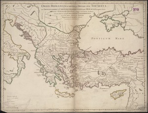
Orbis Romani descriptio : seu divisio per themata sub Imperatoribus Constantinopolitanis post Heraclii tempora facta
782.
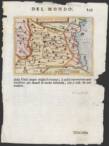
Patavinum Teritor = Territorio di Padova
783.
Map of North America : to illustrate facts of geographical distribution
784.
America
785.
A chart of the world upon Mercator's projection : describing the tracks of Capt. Cook in the year 1768, 69, 70, 71, and in...
786.
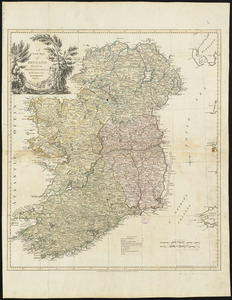
A new map of Ireland divided into provinces, counties, &c
787.
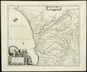
Regna Congo et Angola
788.
Turcicum imperium
789.
Pascaerte vande Vlaemsche, Soute, en Caribesche Eylanden, als mede Terra Nova, en de custen van Nova Francia, Nova Anglia, Nieu...
790.
Nova et accurata Hannoniae comitatus
791.
A new mapp of Africa divided into kingdoms and provinces
792.
An accurate map of England and Wales with the principal roads from the best authorities
793.
Amerique septentrionale divisée en ses principales parties
794.
City of Brussels
795.
A map of part of the N:W: Territory of the United States : compiled from actual surveys, and the best information
796.
Mittel- und Nord-Africa, westl. theil
797.
Muskingum County, Ohio
798.
Russia in Europe
799.
Thun-Interlaken
800.
Westindische Inseln
‹ Prev
Next ›
1
2
…
36
37
38
39
40
41
42
43
44
…
144
145