Toggle navigation
LMEC Home
Exhibitions
Georeferencing
Tools for Teachers
Collections
My Favorites
Sign Up / Log In
Search
Search the map portal
Map Collection
Map Collection
Map Sets
Search
Search
Search for
Search In
All Fields
Creator
Title
Subject
Place
Search All Digital Collections
Advanced Search
135 Results
My Search
Start Over
half
Remove constraint half
Filter your Search
Place
North and Central America
108
United States
94
Massachusetts
54
Boston
37
Suffolk (county)
35
Europe
10
Canada
9
World
9
more
Place
»
Topic
Boston (Mass.)--Maps
25
United States--Maps
9
World maps
6
Boston (Mass.)--Aerial views
5
Railroads--United States--Maps
3
Africa--Maps--Early works to 1800
2
Boston (England)--Maps
2
Boston (Mass.)--Buildings, structures, etc--Maps--Early works to 1800
2
more
Topic
»
Date
Date range begin
–
Date range end
Current results range from
1482
to
1988
View distribution
Creator
Sampson, Davenport & Co
10
Sampson, Murdock & Co
9
Amherst, Jeffery Amherst, Baron, 1717-1797
3
George, III, King of Great Britain, 1738-1820
3
George, IV, King of Great Britain, 1762-1830
3
O.H. Bailey & Co
3
Royal United Services Institute for Defence and Security Studies
3
Bachmann, John, fl. 1849-1885
2
more
Creator
»
Format
Maps/Atlases
132
Manuscripts
10
Prints
3
Georeferenced
Yes
23
No
112
Collection
Norman B. Leventhal Map & Education Center Collection
109
Boston and New England Maps
46
Urban Maps
41
American Revolutionary War-Era Maps
27
British Library Collection
8
Mapping Boston Collection
7
Library of Congress Collection
4
MacLean Collection Map Library
4
more
Collection
»
Available to use
No known restrictions
103
Creative Commons license
23
Search Constraints
Sort by relevance
relevance
title
date (asc)
date (desc)
Number of results to display per page
20 per page
10
per page
20
per page
50
per page
100
per page
View results as:
grid view
map view
Search Results
61.
A new and accurate map of North America
62.
Map of Boston, for 1887
63.
Map of Boston, for 1888
64.
Map of Boston, for 1889
65.
Carte chorographique des Pays-Bas Autrichiens
66.
Carte des monuments historiques de la France, dressée d'après la liste établie par la Commission des monuments historiques
67.
Oil and gas fields of the state of California
68.
Bird’s eye view of Aspen, Pitkin Co. Colo. 1893
69.
City of Lynn, Mass
70.
Map of the city of Lynn
71.
Map of Warren County, New Jersey
72.
Map of the city of Boston and vicinity
73.
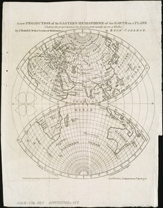
A new projection of the Eastern Hemisphere of the earth on a plane : shewing the proportions of its several parts nearly as on...
74.
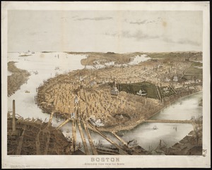
Boston : bird's-eye view from the north
75.
A comprehensive atlas geographical, historical & commercial [title page]
76.
Map of Taunton
77.
A Texan's map of the United States [of Texas]
78.
Sketch of Pensacola Navy Yard and Fort Pickens from U.S. coast surveys
79.
Map of the city of Boston and vicinity
80.
Edgartown, Duke's County, Martha's Vineyard Id., Mass
‹ Prev
Next ›
1
2
3
4
5
6
7

![A comprehensive atlas geographical, historical & commercial [title page]](https://bpldcassets.blob.core.windows.net/derivatives/images/commonwealth:3f463182f/image_thumbnail_300.jpg)

![A Texan's map of the United States [of Texas]](https://bpldcassets.blob.core.windows.net/derivatives/images/commonwealth:fn107c388/image_thumbnail_300.jpg)