Toggle navigation
LMEC Home
Exhibitions
Georeferencing
Tools for Teachers
Collections
My Favorites
Sign Up / Log In
Search
Search the map portal
Map Collection
Map Collection
Map Sets
Search
Search
Search for
Search In
All Fields
Creator
Title
Subject
Place
Search All Digital Collections
Advanced Search
200 Results
My Search
Start Over
g1106
Remove constraint g1106
Filter your Search
Place
North and Central America
167
Canada
70
United States
49
Nova Scotia
24
Maine
16
New England
15
Massachusetts
11
North Carolina
9
more
Place
»
Topic
Nova Scotia--Maps--Early works to 1800
33
Coasts--Nova Scotia--Maps--Early works to 1800
31
Nautical charts--Nova Scotia--Early works to 1800
25
Atlantic Coast (Me.)--Maps--Early works to 1800
19
Coasts--Maine--Maps--Early works to 1800
15
Nautical charts--Maine--Early works to 1800
14
South Carolina--Maps--Early works to 1800
9
Nautical charts--Saint Lawrence, Gulf of--Early works to 1800
8
more
Topic
»
Date
Date range begin
–
Date range end
Current results range from
1720
to
1816
View distribution
Creator
Des Barres, Joseph F. W. (Joseph Frederick Wallet), 1722-1824
120
Norman, John, 1748?-1817
20
Norman, William, -1807
16
Allen, Andrew J., 1784 or 1785-1863
10
Clark, Matthew.
8
Des Barres, Joseph F. W. (Joseph Frederick Wallet), 1729-1824
7
Carleton, Osgood, 1742-1816
4
Dunbibin, Daniel
4
more
Creator
»
Format
Maps/Atlases
200
Georeferenced
Yes
5
No
195
Collection
Norman B. Leventhal Map Center Collection
200
Maritime Charts and Atlases
187
American Revolutionary War-Era Maps
144
Boston and New England Maps
42
Available to use
No known restrictions
200
Search Constraints
Sort by relevance
relevance
title
date (asc)
date (desc)
Number of results to display per page
20 per page
10
per page
20
per page
50
per page
100
per page
View results as:
grid view
map view
Search Results
61.
Chart of the coast of America thro' the Gulph of Florida
62.
Chart of the coast of America through the Gulph of Florida to the entrance of the Gulph of Mexico
63.
A chart of the coast of New England from the South Shoal to Cape Sable including Georges Bay from Holland & actual surveys
64.
A chart of the coast of New England from the South Shoal to Cape Sable including Georges Bay from Holland & actual surveys
65.
A chart of the coast of New York, New Jersey, Pensilvania, Maryland, Virginia, North Carolina, &c
66.
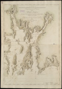
[Chart of the coast of Quebec from the Riviere St. Jean to Grand Hermine Bay]
67.
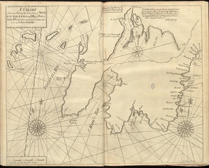
[Chart of the gulf and river of St. Lawrence]
68.
A chart of the harbour of Boston
69.
A chart of the harbour of Boston
70.
A chart of the harbour of Rhode Island and Narraganset Bay
71.
A chart of the harbour of Rhode Island and Narraganset Bay
72.
A chart of the iland of Hispaniola : with the Windward passage from Iamaica betwene ye east end of Cuba & the west end of...
73.
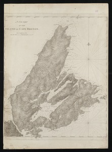
A chart of the island of Cape Breton
74.
A chart of the N.E. coast of Cape Breton Island, from St. Ann Bay to Cape Morien
75.
A chart of the sea coast of New Found Land, New Scotland, New England, New York, New Jersey, with Virginia and Maryland
76.
A chart of the Streights of Bell Isle
77.
Chart of the Streights of Belle Isle
78.
Chart of the streights of Belle Isle
79.
Chart of the streights of Belle Isle
80.
A chart shewing part of the sea coast of Newfoundland from ye Bay of Bulls to little Plecentia
‹ Prev
Next ›
1
2
3
4
5
6
7
8
9
10


![[Chart of the coast of Quebec from the Riviere St. Jean to Grand Hermine Bay]](https://bpldcassets.blob.core.windows.net/derivatives/images/commonwealth:7h149v50v/image_thumbnail_300.jpg)
![[Chart of the gulf and river of St. Lawrence]](https://bpldcassets.blob.core.windows.net/derivatives/images/commonwealth:7h149v39v/image_thumbnail_300.jpg)