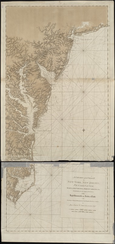
A chart of the coast of New York, New Jersey, Pensilvania, Maryland, Virginia, North Carolina, &c
This map is also available in American Revolutionary Geographies Online (ARGO), a collections portal especially built for material relating to the American Revolutionary War Era. Visit ARGO to learn more about this item and explore the historical geography of North America in the late eighteenth century.
Item Information
- Title:
- A chart of the coast of New York, New Jersey, Pensilvania, Maryland, Virginia, North Carolina, &c
- Creator:
- Des Barres, Joseph F. W. (Joseph Frederick Wallet), 1722-1824
- Name on Item:
-
by Jos. Fred. W. Des Barres.
- Date:
-
1780
- Format:
-
Maps/Atlases
- Location:
-
Boston Public Library
Norman B. Leventhal Map & Education Center - Collection (local):
-
Norman B. Leventhal Map & Education Center Collection
- Subjects:
-
Nautical charts--Atlantic Coast (U.S.)--Early works to 1800
Atlantic Coast (U.S.)--Maps--Early works to 1800
- Places:
-
Eastern United States (area)
- Extent:
- 1 chart ; 159 x 75 cm.
- Terms of Use:
-
No known copyright restrictions.
No known restrictions on use.
- Publisher:
-
[London] :
J.F.W. Des Barres
- Scale:
-
Scale [ca. 1:580,000]
- Language:
-
English
- Notes:
-
1st state.
Relief shown by shading. Depths shown by soundings.
"Composed from the deposit of surveys of the right honourable the Lords of Trade with soundings & nautical remarks from Lt. Jno. Knight of the Navy & others ..."
Appears in the author's Atlantic Neptune. London : J.F.W. Des Barres, 1777-[1781].
- Identifier:
-
06_01_004991
- Call #:
-
G1106.P5 D47 1777
- Barcode:
-
30000003811395
- LCCN:
-
77693982


