Toggle navigation
LMEC Home
Exhibitions
Georeferencing
Tools for Teachers
Collections
My Favorites
Sign Up / Log In
Search
Search the map portal
Map Collection
Map Collection
Map Sets
Search
Search
Search for
Search In
All Fields
Creator
Title
Subject
Place
Search All Digital Collections
Advanced Search
1234 Results
My Search
Start Over
land ownership maps
Remove constraint land ownership maps
Filter your Search
Place
North and Central America
1,055
United States
865
Massachusetts
290
Suffolk (county)
282
Boston
277
Canada
119
New York
60
Asia
43
more
Place
»
Topic
City planning--Massachusetts--Boston--Maps
144
Boston (Mass.)--Maps
103
Land use--Massachusetts--Boston--Maps
103
Urban renewal--Massachusetts--Boston--Maps
95
Real property--Massachusetts--Boston--Maps
79
United States--Maps
42
Land tenure--Massachusetts--Boston--Maps
39
North America--Maps--Early works to 1800
31
more
Topic
»
Date
Date range begin
–
Date range end
Current results range from
1482
to
2022
View distribution
Creator
Boston Redevelopment Authority
142
United States. General Land Office
60
MassGIS (Office : Mass.)
31
George, III, King of Great Britain, 1738-1820
26
George, IV, King of Great Britain, 1762-1830
25
Ptolemy, 2nd cent
22
Faden, William, 1749-1836
21
Massachusetts. Executive Office of Environmental Affairs
20
more
Creator
»
Format
Maps/Atlases
1,221
Manuscripts
119
Prints
9
Drawings/Illustrations
2
Objects/Artifacts
2
Books
1
Documents
1
Georeferenced
Yes
145
No
1,089
Collection
Norman B. Leventhal Map & Education Center Collection
759
Boston and New England Maps
416
American Revolutionary War-Era Maps
351
Urban Maps
344
Boston Redevelopment Authority Collection
150
William L. Clements Library Collection
88
Library of Congress Collection
59
British Library Collection
52
more
Collection
»
Available to use
No known restrictions
875
Creative Commons license
188
Search Constraints
Sort by relevance
relevance
title
date (asc)
date (desc)
Number of results to display per page
20 per page
10
per page
20
per page
50
per page
100
per page
View results as:
grid view
map view
Search Results
761.
Plan of Fort Hill showing street improvements as adopted by the city council : 1869
762.
Property qualifications for suffrage, 1800
763.
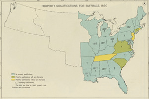
Property qualifications for suffrage, 1830
764.
Hyde Park & Fairmount : in Dorchester & Milton, Norfolk Co
765.
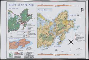
Views of Cape Ann
766.
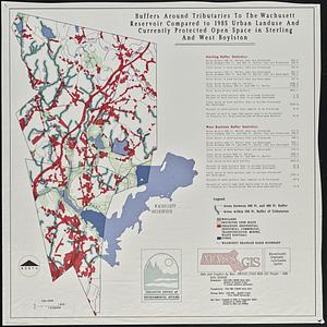
Buffers around tributaries to the Wachusett Reservoir compared to 1985 urban landuse and currently protected open space in...
767.
A plan of the property of the Hampton Normal and Agricultural Institute at Hampton Virginia
768.
[Plan of lots on West Selden Street, Dorchester]
769.
VOC contamination and public water supplies in the commonwealth of Massachusetts
770.
Paul Sample's America, its soil
771.
Appalachian region, as designated by the Appalachian Regional Commission 1967
772.
Illustrative re-use site plan for the regional core
773.
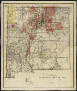
Territory of New Mexico
774.
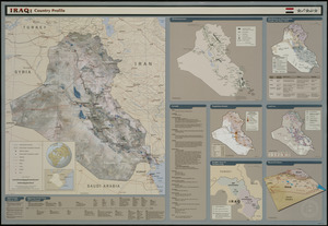
Iraq country profile
775.
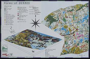
Views of Dennis
776.
Boston University, Charles River campus master plan
777.
Downtown waterfront-Faneuil Hall project urban renewal area Massachusetts R-77 : existing and proposed zoning
778.
Downtown waterfront-Faneuil Hall project urban renewal area Massachusetts R-77 : existing and proposed zoning
779.
Downtown waterfront-Faneuil Hall project urban renewal area Massachusetts R-77 : illustrative site plan
780.
Downtown waterfront-Faneuil Hall project urban renewal area Massachusetts R-77 : illustrative site plan
‹ Prev
Next ›
1
2
…
35
36
37
38
39
40
41
42
43
…
61
62


![[Plan of lots on West Selden Street, Dorchester]](https://bpldcassets.blob.core.windows.net/derivatives/images/commonwealth:js956j14f/image_thumbnail_300.jpg)