Search Constraints
Search Results


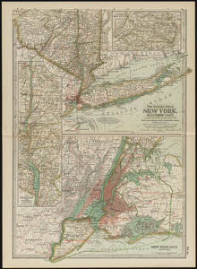
7763. New York, southern part
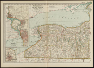
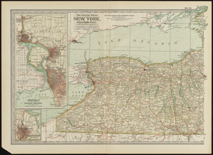
7764. New York, western part
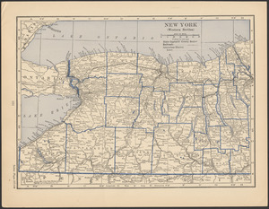
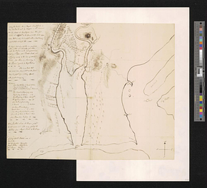
7765. New York, western part

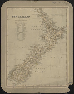
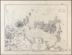
7768. New Zealand
7772. Newark, New Jersey
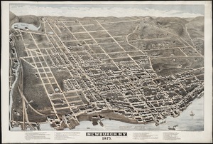
7773. Newburgh, N.Y : 1875
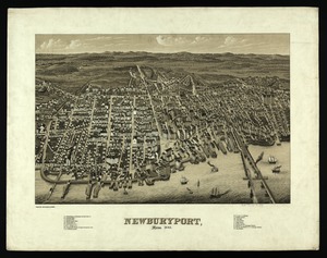
7774. Newburyport, Mass
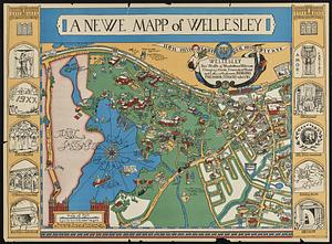
7776. A newe mapp of Wellesley