Toggle navigation
LMEC Home
Exhibitions
Georeferencing
Tools for Teachers
Collections
My Favorites
Sign Up / Log In
Search
Search the map portal
Map Collection
Map Collection
Map Sets
Search
Search
Search for
Search In
All Fields
Creator
Title
Subject
Place
Search All Digital Collections
Advanced Search
1234 Results
My Search
Start Over
land ownership maps
Remove constraint land ownership maps
Filter your Search
Place
North and Central America
1,055
United States
865
Massachusetts
290
Suffolk (county)
282
Boston
277
Canada
119
New York
60
Asia
43
more
Place
»
Topic
City planning--Massachusetts--Boston--Maps
144
Boston (Mass.)--Maps
103
Land use--Massachusetts--Boston--Maps
103
Urban renewal--Massachusetts--Boston--Maps
95
Real property--Massachusetts--Boston--Maps
79
United States--Maps
42
Land tenure--Massachusetts--Boston--Maps
39
North America--Maps--Early works to 1800
31
more
Topic
»
Date
Date range begin
–
Date range end
Current results range from
1482
to
2022
View distribution
Creator
Boston Redevelopment Authority
142
United States. General Land Office
60
MassGIS (Office : Mass.)
31
George, III, King of Great Britain, 1738-1820
26
George, IV, King of Great Britain, 1762-1830
25
Ptolemy, 2nd cent
22
Faden, William, 1749-1836
21
Massachusetts. Executive Office of Environmental Affairs
20
more
Creator
»
Format
Maps/Atlases
1,221
Manuscripts
119
Prints
9
Drawings/Illustrations
2
Objects/Artifacts
2
Books
1
Documents
1
Georeferenced
Yes
145
No
1,089
Collection
Norman B. Leventhal Map & Education Center Collection
759
Boston and New England Maps
416
American Revolutionary War-Era Maps
351
Urban Maps
344
Boston Redevelopment Authority Collection
150
William L. Clements Library Collection
88
Library of Congress Collection
59
British Library Collection
52
more
Collection
»
Available to use
No known restrictions
875
Creative Commons license
188
Search Constraints
Sort by relevance
relevance
title
date (asc)
date (desc)
Number of results to display per page
20 per page
10
per page
20
per page
50
per page
100
per page
View results as:
grid view
map view
Search Results
741.
Landuse change in Kingston, Mass. 1971-1985
742.
Plan of an estate in High St. to be sold at auction Sat. May 1st 1847 at 12 o'clock on the premises by Whitwell, Seaver & Co....
743.
Northeast Massachusetts
744.
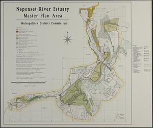
Neponset River estuary master plan area
745.
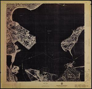
Dorchester Bay
746.
Open space 2017
747.
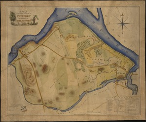
A plan of sundry farms etc. at Patucket in the town of Chelmsford
748.
Plan of estate, nos 1043 to 1059 Washington Street, Boston, belonging to the heirs of the late William Brigham : to be sold by...
749.
[Plan of real estate on Pearl Street, Boston]
750.
Plan of the estates nos. 246 to 252 Congress corner of Purchase Street and nos. 59 to 69 Purchase Street : to be sold by public...
751.
Plan of the South Cove
752.
Eastern encephalitis risk area
753.
Massachusetts Bays Program community resource atlas
754.
Planimetric data, Reading, MA
755.
The British governments in Nth. America : laid down agreeable to the proclamation of Octr. 7, 1763
756.
United States, including territories and insular possessions : showing the extent of public surveys, national parks, national...
757.
Part of the city of Honolulu, Oahu H.I.
758.
EOEA MassGIS geographic information system transition document : The EOEA geographic information system: MassGIS
759.
Charlestown urban renewal area Massachusetts R-55 : illustrative site plan
760.
Disposition parcel plan, central area
‹ Prev
Next ›
1
2
…
34
35
36
37
38
39
40
41
42
…
61
62


![[Plan of real estate on Pearl Street, Boston]](https://bpldcassets.blob.core.windows.net/derivatives/images/commonwealth:9s161d705/image_thumbnail_300.jpg)