Toggle navigation
LMEC Home
Exhibitions
Georeferencing
Tools for Teachers
Collections
My Favorites
Sign Up / Log In
Search
Search the map portal
Map Collection
Map Collection
Map Sets
Search
Search
Search for
Search In
All Fields
Creator
Title
Subject
Place
Search All Digital Collections
Advanced Search
14164 Results
Filter your Search
Place
North and Central America
10,811
United States
8,818
Massachusetts
2,820
Suffolk (county)
1,688
Boston
1,644
Europe
1,428
Canada
1,010
New York
683
more
Place
»
Topic
Boston (Mass.)--Maps
753
City planning--Massachusetts--Boston--Maps
419
United States--History--Revolution, 1775-1783--Maps
331
United States--Maps
331
Real property--Massachusetts--Boston--Maps
254
Urban renewal--Massachusetts--Boston--Maps
254
North America--Maps--Early works to 1800
241
Massachusetts--Maps
236
more
Topic
»
Date
Date range begin
–
Date range end
Current results range from
1482
to
2023
View distribution
Creator
United States. Hydrographic Office
597
Boston Redevelopment Authority
404
Des Barres, Joseph F. W. (Joseph Frederick Wallet), 1722-1824
247
Jefferys, Thomas, -1771
172
United States. National Ocean Service
170
Royal United Services Institute for Defence and Security Studies
160
George, III, King of Great Britain, 1738-1820
152
George, IV, King of Great Britain, 1762-1830
151
more
Creator
»
Format
Maps/Atlases
13,978
Manuscripts
985
Prints
102
Books
53
Drawings/Illustrations
44
Photographs
15
Objects/Artifacts
13
Documents
7
more
Format
»
Georeferenced
Yes
979
No
13,185
Collection
Norman B. Leventhal Map & Education Center Collection
9,162
American Revolutionary War-Era Maps
3,629
Boston and New England Maps
2,936
Urban Maps
2,511
Maritime Charts and Atlases
1,169
William L. Clements Library Collection
910
Library of Congress Collection
618
Boston Redevelopment Authority Collection
475
more
Collection
»
Available to use
No known restrictions
10,408
Creative Commons license
1,678
Search Constraints
Sort by relevance
relevance
title
date (asc)
date (desc)
Number of results to display per page
20 per page
10
per page
20
per page
50
per page
100
per page
View results as:
grid view
map view
Search Results
7501.
New Hampshire and Vermont
7502.
New Hampshire by recent survey : made under the supreme authority and published according to law
7503.
New Hampshire, Vermont, &c
7504.
New Hartford, Conn : 1878
7505.
New Haven
7506.
New historical map of metropolitan Boston
7507.
New index geological map of the British Isles, and adjacent coast of France constructed from published documents,...
7508.
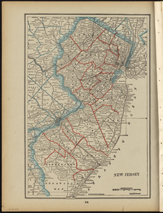
New Jersey
7509.
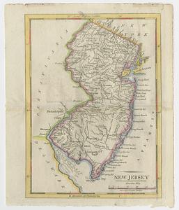
New Jersey
7510.
New Jersey
7511.
New Jersey
7512.
New Jersey
7513.
New Jersey showing forest area and its relation to the principal watersheds
7514.
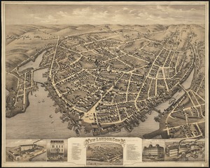
New London, Conn : 1876
7515.
A new map and profile of the proposed canal from Lake Erie to Hudson River in the state of New York
7516.
A new map containing the English Empire Golf of Mexico Caribes Islands Granada Guiana Amazone and Peru
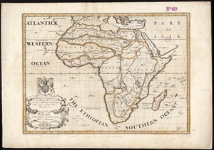
7517.
A new map of Africk : shewing its present general divisions cheif cities or towns, rivers, mountain &c. : dedicated to His...
7518.
A new map of America from the latest observations
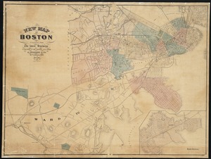
7519.
New map of Boston
7520.
New map of Boston, comprising the whole city, with the new boundaries of the wards
‹ Prev
Next ›
1
2
…
372
373
374
375
376
377
378
379
380
…
708
709