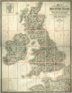
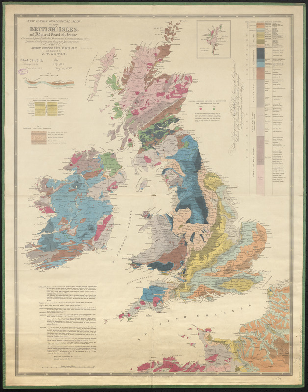
New index geological map of the British Isles, and adjacent coast of France constructed from published documents, communications of eminent geologists, and personal investigation
Item Information
- Title:
- New index geological map of the British Isles, and adjacent coast of France constructed from published documents, communications of eminent geologists, and personal investigation
- Cartographer:
- Phillips, John, 1800-1874
- Engraver:
- Lowry, Joseph Wilson, 1803-1879
- Publisher:
- Weale, John, 1791-1862
- Name on Item:
-
by John Phillips, F.R.S.G.S. and engraved by J.W. Lowry
- Date:
-
1860
- Format:
-
Maps/Atlases
- Location:
-
Boston Public Library
Norman B. Leventhal Map & Education Center - Collection (local):
-
Norman B. Leventhal Map & Education Center Collection
- Subjects:
-
Geology--British Isles--Maps
British Isles--Maps
Tourist maps
- Places:
-
British Isles (area)
- Extent:
- 1 map : color ; 78 x 59 cm
- Terms of Use:
-
No known copyright restrictions.
No known restrictions on use.
- Publisher:
-
[London] :
John Weale
- Scale:
-
Scale approximately 1:1,570,000
- Language:
-
English
- Notes:
-
Includes table of superposition of British strata, 3 diagrams and notes.
Inset: Shetland Islands.
- Identifier:
-
06_01_014865
- Call #:
-
G5741.C5 1860 .P55
- Barcode:
-
39999065707687