Toggle navigation
LMEC Home
Exhibitions
Georeferencing
Tools for Teachers
Collections
My Favorites
Sign Up / Log In
Search
Search the map portal
Map Collection
Map Collection
Map Sets
Search
Search
Search for
Search In
All Fields
Creator
Title
Subject
Place
Search All Digital Collections
Advanced Search
13385 Results
Filter your Search
Place
North and Central America
9,353
United States
7,078
Suffolk (county)
1,664
Boston
1,621
Europe
1,035
Canada
949
Massachusetts
794
New York
532
more
Place
»
Topic
Boston (Mass.)--Maps
741
City planning--Massachusetts--Boston--Maps
418
United States--History--Revolution, 1775-1783--Maps
329
United States--Maps
315
Urban renewal--Massachusetts--Boston--Maps
254
Real property--Massachusetts--Boston--Maps
252
Massachusetts--Maps
219
Insurance surveys
197
more
Topic
»
Date
Date range begin
–
Date range end
Current results range from
1482
to
2023
View distribution
Creator
United States. Hydrographic Office
595
Boston Redevelopment Authority
403
Des Barres, Joseph F. W. (Joseph Frederick Wallet), 1722-1824
247
Royal United Services Institute for Defence and Security Studies
160
Jefferys, Thomas, -1771
154
George, III, King of Great Britain, 1738-1820
152
George, IV, King of Great Britain, 1762-1830
151
O.H. Bailey & Co
148
more
Creator
»
Format
Maps/Atlases
13,205
Manuscripts
985
Prints
102
Books
49
Drawings/Illustrations
44
Photographs
15
Objects/Artifacts
13
Documents
7
more
Format
»
Georeferenced
Yes
979
No
12,406
Collection
Norman B. Leventhal Map Center Collection
8,891
American Revolutionary War-Era Maps
3,305
Boston and New England Maps
2,804
Urban Maps
2,397
Maritime Charts and Atlases
1,150
William L. Clements Library Collection
910
Library of Congress Collection
618
Boston Redevelopment Authority Collection
475
more
Collection
»
Available to use
No known restrictions
9,952
Creative Commons license
1,677
Search Constraints
Sort by relevance
relevance
title
date (asc)
date (desc)
Number of results to display per page
20 per page
10
per page
20
per page
50
per page
100
per page
View results as:
grid view
map view
Search Results
7481.
North Pacific Ocean, Japan, examination of the islands and dangers south of Fatsizio Sima
7482.
North Pacific Ocean, Loo Choo Archipelago-- Ou-sima, Hancock Bay : from British surveys in 1872 & 1882
7483.
North Pacific Ocean, Marshall Islands, Likieb Group : from a sketch made by Captain J.V. Melander in 1885
7484.
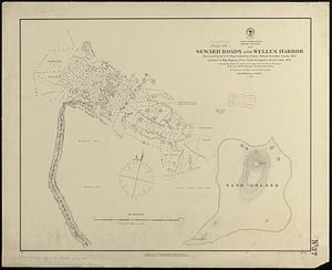
North Pacific Ocean, Midway Islands, Seward Roads and Welles Harbor
7485.
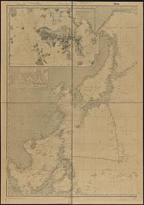
North Pacific Ocean, sheet IV
7486.
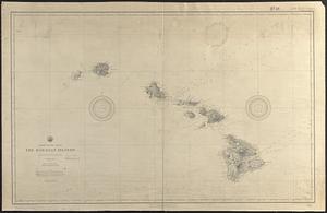
North Pacific Ocean, the Hawaiian Islands : compiled from the latest information
7487.
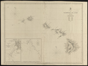
North Pacific Ocean, the Sandwich Islands : from various but imperfect authorities
7488.
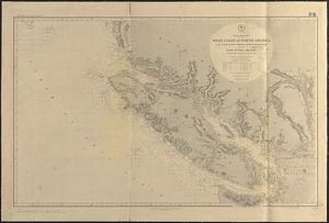
North Pacific Ocean, west coast of North America between latitudes 51° 30' and 55° 30' N. embracing the Queen Charlotte...
7489.
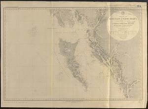
North Pacific Ocean, west coast of North America from the Juan de Fuca Strait to Queen Charlotte Is. including Vancouver Island...
7490.
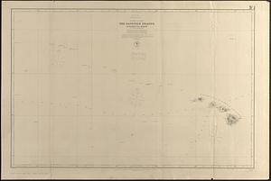
North Pacific, the Sandwich Islands, with islands and reefs to the westward
7491.
The north part of America : conteyning Newfoundland, new England, Virginia, Florida, new Spaine, and Noua Francia wth ye rich...
7492.
The north part of America : conteyning Newfoundland, new England, Virginia, Florida, new Spaine, and Noua Francia wth ye rich...
7493.
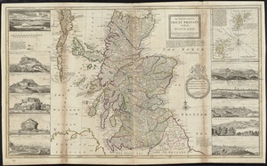
The north part of Great Britain called Scotland : with considerable inprovements [sic] and many remarks not extant in any map,...
7494.
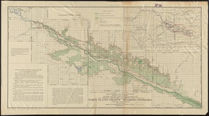
North Platte Project, Wyoming-Nebraska
7495.
The north point of Grandmanan Island in the bay Fundy bearing e.n.e distant two leagues ; A view of Campo Bello at the entrance...
7496.
The north point of Grandmanan Island in the bay Fundy bearing e.n.e distant two leagues ; A view of Campo Bello at the entrance...
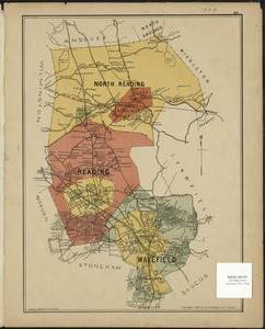
7497.
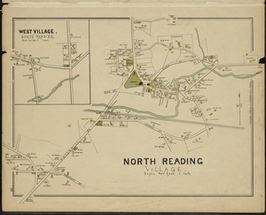
North Reading, Reading, and Wakefield, Mass.
7498.
North Reading Village
7499.
The North Shore and part of Middlesex County, Mass
7500.
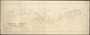
North Street from near Cross, to Commercial : showing proposed widening to 50 feet
‹ Prev
Next ›
1
2
…
371
372
373
374
375
376
377
378
379
…
669
670