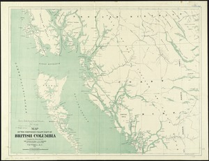
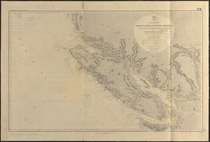
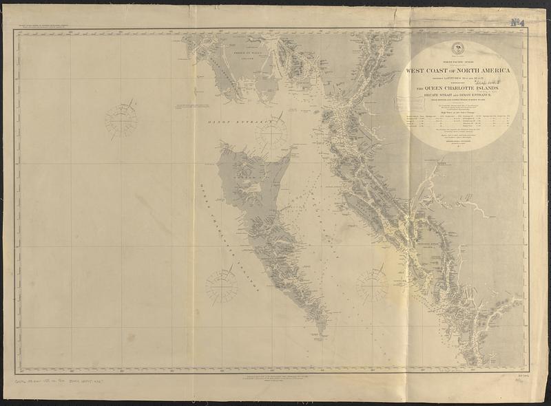
North Pacific Ocean, west coast of North America between latitudes 51° 30' and 55° 30' N. embracing the Queen Charlotte Islands, Hecate Strait and Dixon Entrance : from British and United States surveys to 1881
Item Information
- Title:
- North Pacific Ocean, west coast of North America between latitudes 51° 30' and 55° 30' N. embracing the Queen Charlotte Islands, Hecate Strait and Dixon Entrance : from British and United States surveys to 1881
- Issuing body:
- United States. Hydrographic Office
- Date:
-
[1888]
- Format:
-
Maps/Atlases
- Genre:
-
Nautical charts
- Location:
-
Boston Public Library
Norman B. Leventhal Map & Education Center - Collection (local):
-
Norman B. Leventhal Map & Education Center Collection
- Subjects:
-
Haida Gwaii (B.C.)--Maps
Hecate Strait (B.C.)--Maps
Dixon Entrance (B.C. and Alaska)--Maps
Coasts--British Columbia--Maps
Nautical charts--British Columbia
- Places:
-
CanadaProvince of British Columbia (province)Haida Islands (area)
CanadaProvince of British Columbia (province)Hecate Strait
Dixon Entrance
- Extent:
- 1 map ; 60 x 90 cm
- Terms of Use:
-
No known copyright restrictions.
No known restrictions on use.
- Publisher:
-
Washington, D.C. :
Hydrographic Office
- Edition:
- Edition of January 1888
- Scale:
-
Scale approximately 1:760,000
- Language:
-
English
- Notes:
-
Relief shown by hachures and spot heights. Depths show by soundings.
"Pacific Ocean series of general navigating charts, from Cape Horn to Behrings Strait _ sheet no. "--Upper left.
- Notes (date):
-
This date is inferred.
- Identifier:
-
06_01_017107
- Call #:
-
G9096.P5 svar .U55 no. 904
- Barcode:
-
39999085954327