Search Constraints
Search Results


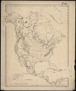
7303. North America

7304. North America

7305. North America

7306. North America

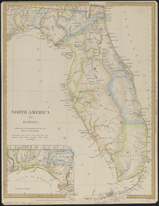
7309. North America : Florida

7310. North America


7312. North America


7315. North America

7316. North America

7317. North America


