Toggle navigation
LMEC Home
Exhibitions
Georeferencing
Tools for Teachers
Collections
My Favorites
Sign Up / Log In
Search
Search the map portal
Map Collection
Map Collection
Map Sets
Search
Search
Search for
Search In
All Fields
Creator
Title
Subject
Place
Search All Digital Collections
Advanced Search
91 Results
My Search
Start Over
1803
Remove constraint 1803
Filter your Search
Place
North and Central America
70
United States
61
North America
12
Europe
10
New York
7
Massachusetts
5
Canada
4
Ohio
4
more
Place
»
Topic
North America--Maps--Early works to 1800
8
United States--Maps
7
United States--Maps--Early works to 1800
5
Georgia--Maps
3
Manhattan (New York, N.Y.)--Maps
3
Maryland--Maps
3
New York (N.Y.)--Administrative and political divisions--Maps
3
North America--Maps
3
more
Topic
»
Date
Date range begin
–
Date range end
Current results range from
1753
to
1932
View distribution
Creator
Barker, W. (William), active 1795-1803
32
Carey, Mathew, 1760-1839
32
Burr, David H., 1803-1875
8
Brion de la Tour, Louis, 1743-1803
6
Esnauts et Rapilly
5
Lewis, Samuel, 1753 or 4-1822
5
Arrowsmith, Aaron, 1750-1823
3
Dorman, Moses, 1803-1877
3
more
Creator
»
Format
Maps/Atlases
91
Georeferenced
Yes
8
No
83
Collection
Norman B. Leventhal Map & Education Center Collection
59
American Revolutionary War-Era Maps
31
MacLean Collection Map Library
15
Boston and New England Maps
10
Urban Maps
9
New York Public Library Collection
5
American Antiquarian Society Collection
3
Richard H. Brown Revolutionary War Map Collection at Mount Vernon
3
more
Collection
»
Available to use
No known restrictions
62
Creative Commons license
9
Search Constraints
Sort by relevance
relevance
title
date (asc)
date (desc)
Number of results to display per page
20 per page
10
per page
20
per page
50
per page
100
per page
View results as:
grid view
map view
Search Results
41.
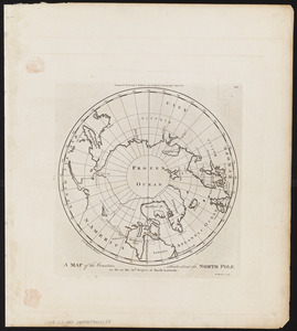
A map of the countries situate about the North Pole as far as the 50th. degree of north latitude
42.
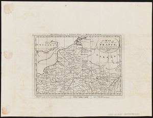
A map of the seat of war in France, with the country divided into its several departments
43.
Poland, shewing the claims of Russia, Prussia & Austria, until the late depredations, the extent of which cannot as yet be...
44.
The Russian Empire, in Europe and Asia
45.
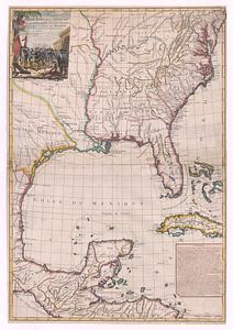
Suite du theatre de la guerre dans l'Amerique Septentrionale y compris le Golfe du Mexique
46.
Turkey, in Europe and Hungary : from the best authorities
47.
Die Vereinigten Staaten von Nord=America : nach der von W.m Faden 1783 : herausgegebenen charte, auf welcher alle im englisch...
48.
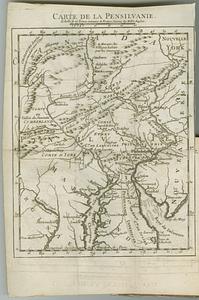
Carte de la Pensilvanie
49.
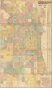
Chicago
50.
Home rule map of Ireland
51.
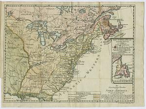
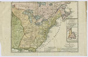
Nouveau Mexique, Louisiane, Canada, et les Etats Unis
52.
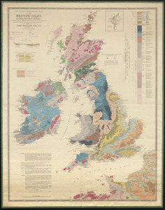
New index geological map of the British Isles, and adjacent coast of France constructed from published documents,...
53.
Die Vereinigten Staaten von Nord=America
54.
Connecticut
55.
Kentuckey
56.
Maryland
57.
Massachusetts
58.
Mississippi Territory and Georgia
59.
New York
60.
North Carolina
‹ Prev
Next ›
1
2
3
4
5