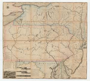
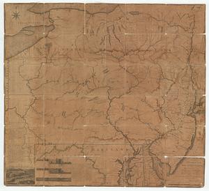
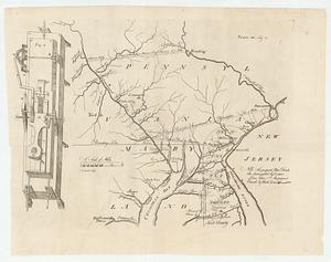
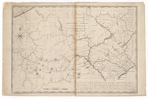
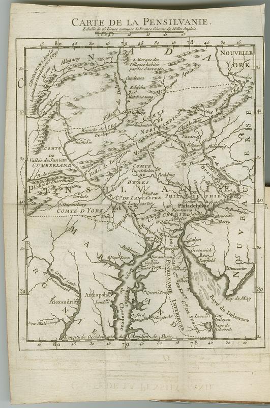
Carte de la Pensilvanie
This map is also available in American Revolutionary Geographies Online (ARGO), a collections portal especially built for material relating to the American Revolutionary War Era. Visit ARGO to learn more about this item and explore the historical geography of North America in the late eighteenth century.
Item Information
- Title:
- Carte de la Pensilvanie
- Contributor:
- Smith, William, 1727-1803
- Publisher:
- La Ville, Jean-Ignace de, 1690-1774
- Date:
-
1756
- Format:
-
Maps/Atlases
- Location:
- MacLean Collection Map Library
- Collection (local):
-
MacLean Collection Map Library
- Subjects:
-
Pennsylvania--Maps--Early works to 1800
Pennsylvania--History--French and Indian War, 1755-1763
Society of Friends--Pennsylvania
- Places:
-
Pennsylvania
- Extent:
- 1 map ; 305 x 216 mm
- Terms of Use:
-
Public Domain/No known restrictions on use. Contact host institution to download image.
Contact host institution for more information.
- Publisher:
-
Paris :
[Abbe Jean Ignace de la Ville]
- Language:
-
French
- Notes:
-
In Etat present de la Pensilvanie, ou l'on trouve le detail de ce qui s'y est passe depuis la defaite du General Braddock jusqu'a la prise d'Oswego, avec une carte particuliere de cette colonie.
- Identifier:
-
MC_182
- Call #:
-
182